


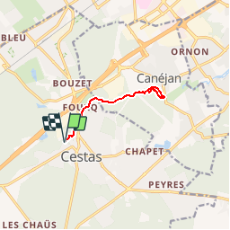

10.6 km | 11.7 km-effort

User


FREE GPS app for hiking
 SityTrail
IGN / Geographical institutes
SityTrail World
The world is yours!
Trail Walking of 9.1 km to be discovered at New Aquitaine, Gironde, Cestas. This trail is proposed by tracegps.
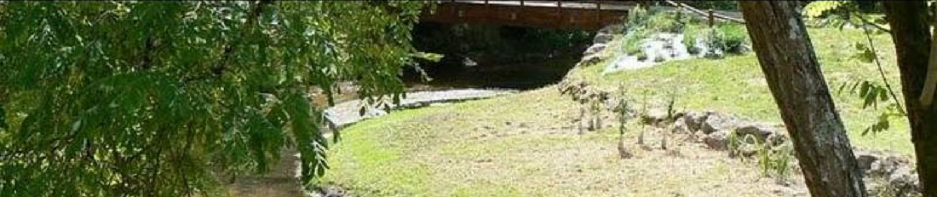
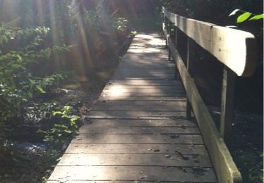
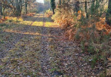
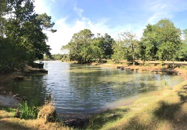
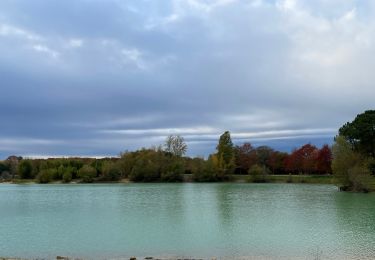
Première sortie le long de l'Eau Bourdes, départ coté Cestas. (2ème chemin du passage du Gros ). Rando relativement simple et adaptée à tous... Le terrain peut être boueux s'il a beaucoup plu.... Possibilité de rejoindre le Lac Vert... Suite du circuit plus tard.... A bientôt.


Walking

Walking

Nordic walking
Walking
Walking
Walking
Walking