


4.5 km | 6.8 km-effort

User


FREE GPS app for hiking
 SityTrail
IGN / Geographical institutes
SityTrail World
The world is yours!
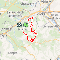
Trail Walking of 21 km to be discovered at Auvergne-Rhône-Alpes, Rhône, Échalas. This trail is proposed by tracegps.
Randonnée organisée par l'association "Les amis de Michelle et René", au profit de la recherche sur le cancer. Belle promenade entre la Vallée du Rhône et la Vallée du Gier avec de jolis points de vue. Départ du parking de la mairie.


Walking
Walking
Walking

Walking
Walking
Walking
Walking
Walking
Walking
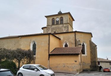
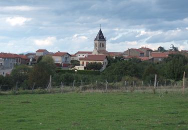
jolie ballade