Trail Walking La Salle-les-Alpes - Le Grand Aréa 2869m, depuis la Bergerie Saint-Joseph - Photo

Le Grand Aréa 2869m, depuis la Bergerie Saint-Joseph

 tracegps
tracegps

User

© OpenStreetMap contributors
Length
Length
7 km
Max alt
Max alt
2850 m
Uphill gradient
Uphill gradient
699 m
Km-Effort
Km-Effort  
16.3 km
Min alt
Min alt
2174 m
Downhill gradient
Downhill gradient
699 m
Boucle
Boucle
Yes
Creation date :
2014-12-10 00:00:00.0
Updated on :
2014-12-10 00:00:00.0

(0 Reviews)

Walking
Walking
4h30
Difficulty : Medium

Scan this QR Code to open this trail in the SityTrail application

FREE GPS app for hiking

Logo SityTrail SityTrail

IGN / Geographical institutes

Download SityTrail from the App Store Download SityTrail from Google Play

Logo SityTrail SityTrail World

The world is yours!

Download SityTrail from the App Store Download SityTrail from Google Play Download SityTrail on Huawei AppGallery

About

Trail Walking of 7 km to be discovered at Provence-Alpes-Côte d'Azur, Hautes-Alpes, La Salle-les-Alpes. This trail is proposed by tracegps.

Description

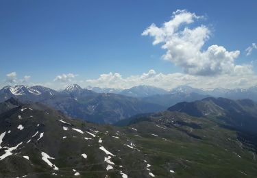
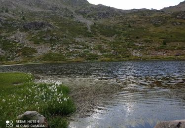
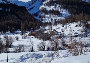
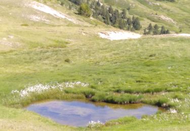
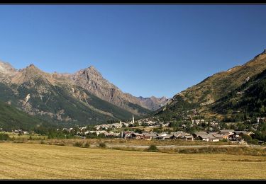
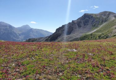
Massif des Cerces, Galibier-Peyrolle. Le Grand Aréa est une randonnée classique du Briançonnais et un belvédère au vaste panorama étendu aux massifs environnants, l'Oisans en particulier. Depuis la Bergerie de Saint-Joseph, l'itinéraire grimpe le versant Est du Petit Aréa pour prendre l'arête Sud qui débouche au sommet du Grand Aréa. La descente dévale les sévères pierriers du versant Ouest pour aller chercher le parcours plus aventureux de la Crête de Cristol jusqu'à la Porte de Cristol. Le retour par des chemins et pistes faciles ramène rapidement au point de départ. Description complète sur sentier-nature.com : Le Grand Aréa 2869 m, depuis la Bergerie Saint-Joseph Avertissement [Orientation 2/3]. Certains passages de cet itinéraire de montagne sont escarpés et/ou exposés, il est déconseillé aux enfants non accompagnés et aux personnes sujettes au vertige. Pour votre sécurité, nous vous invitons à respecter les règles suivantes : être bien chaussé, ne pas s'engager par mauvais temps, ne pas s'écarter de l'itinéraire ni des sentiers. Pour assurer les moins expérimentés, une corde d'une vingtaine de mètres peut être utile. Il apparaît souhaitable de réaliser cette course par temps sec.

Elevation profile

Photos

Positioning

Country:
France
Region :
Provence-Alpes-Côte d'Azur
Department/Province :
Hautes-Alpes
Municipality :
La Salle-les-Alpes
Location:
Unknown
Start:(UTM)
309502 ; 4982268 (32T) N.

Trails nearby

Trail Walking La Salle-les-Alpes - le grand Aréa (boucle) - Photo
Walking
GUIDE
amiral13

Walking

Medium
La Salle-les-Alpes, Provence-Alpes-Côte d'Azur, Hautes-Alpes, France
7.7 km | 17.1 km-effort
4h 49min
Yes
Trail Walking La Salle-les-Alpes - Grand AREA 21/06/18 - Photo
Walking
GUIDE
R@ph

Walking

Difficult
La Salle-les-Alpes, Provence-Alpes-Côte d'Azur, Hautes-Alpes, France
9.4 km | 18.5 km-effort
3h 41min
Yes
Trail Walking Saint-Chaffrey - Chantemerle-la Salle les Aples 13-08-2018 - Photo
Walking
GUIDE
fredetpascale

Walking

Easy
(1)
Saint-Chaffrey, Provence-Alpes-Côte d'Azur, Hautes-Alpes, France
9.7 km | 15.9 km-effort
2h 56min
No
Trail Mountain bike Saint-Chaffrey - granons tronchet - Photo
Mountain bike
Vincentetourmy

Mountain bike

Difficult
(1)
Saint-Chaffrey, Provence-Alpes-Côte d'Azur, Hautes-Alpes, France
15.5 km | 24 km-effort
1h 52min
No
Trail Walking Saint-Chaffrey - 05 lacs de l'oule,christol,rond 25/08/24 - Photo
Walking
silvestreclaudine

Walking

Very difficult
Saint-Chaffrey, Provence-Alpes-Côte d'Azur, Hautes-Alpes, France
14.4 km | 23 km-effort
6h 54min
Yes
Trail Walking Le Monêtier-les-Bains - tour de la cucumelle  - Photo
Walking
tchoua

Walking

Medium
Le Monêtier-les-Bains, Provence-Alpes-Côte d'Azur, Hautes-Alpes, France
21 km | 38 km-effort
5h 5min
Yes
Trail Walking Le Monêtier-les-Bains - Les Boussardes - Photo
Walking
LANDRIEU

Walking

Easy
Le Monêtier-les-Bains, Provence-Alpes-Côte d'Azur, Hautes-Alpes, France
15.7 km | 19.2 km-effort
5h 1min
No
Trail Walking Saint-Chaffrey - col du granon-croix de la cime - Photo
Walking
RayFab

Walking

Medium
Saint-Chaffrey, Provence-Alpes-Côte d'Azur, Hautes-Alpes, France
6.5 km | 10.7 km-effort
1h 59min
Yes
Trail Walking Le Monêtier-les-Bains - Grand Aréa - Photo
Walking
flip38

Walking

Difficult
Le Monêtier-les-Bains, Provence-Alpes-Côte d'Azur, Hautes-Alpes, France
25 km | 46 km-effort
8h 1min
Yes


Close
My subscriptions