


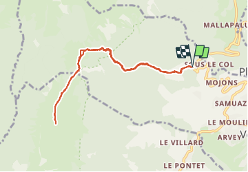

9.6 km | 18.3 km-effort


User


FREE GPS app for hiking
 SityTrail
IGN / Geographical institutes
SityTrail World
The world is yours!
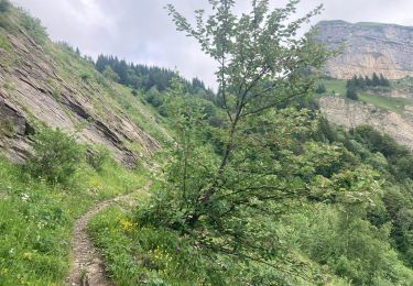
Trail Snowshoes of 10 km to be discovered at Auvergne-Rhône-Alpes, Savoy, Verrens-Arvey. This trail is proposed by c.gourme.
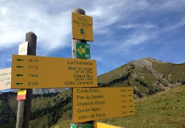
Beaucoup de neige sur la crête qui ramollit sous le soleil : à éviter si température trop haute.
Possibilité de pousser jusqu,au Grand Roc
Walking

Walking

Walking
Walking
Walking
Walking
Walking
Walking
Other activity