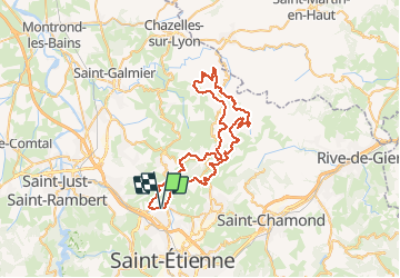
![](/images/other/stat-length.png)
![Trail Mountain bike L'Étrat - 16ème Randonnée Le Terrassou (2013-VTT-60km) - L'Étrat - Photo](https://media.geolcdn.com/t/1900/400/ext.pjpeg?maxdim=2&url=https%3A%2F%2Fservices.sitytrail.com%2FGeolivesWS%2FDownloadMedia.ashx%3FTrailID%3D317012%26Media%3D16153_6.jpg)
16ème Randonnée Le Terrassou (2013-VTT-60km) - L'Étrat
tracegps
User
![Length](/images/other/stat-length.png)
![Max alt](https://static1.geolcdn.com/siteimages/upload/files/1508320355ic_sort_altitude_max_24dp.png)
![Uphill gradient](https://static1.geolcdn.com/siteimages/upload/files/1508320355ic_sort_den_pos_24dp.png)
![Km-Effort](/images/other/stat-length.png)
![Min alt](https://static1.geolcdn.com/siteimages/upload/files/1508320355ic_sort_altitude_min_24dp.png)
![Downhill gradient](https://static1.geolcdn.com/siteimages/upload/files/1508320355ic_sort_den_neg_24dp.png)
![Boucle](https://static1.geolcdn.com/siteimages/upload/files/16400158638029165_repeat_loop_refresh_sync_direction_icon.png)
![Mountain bike](https://static1.geolcdn.com/sitytour/trail-icons/202.png)
5h30
Difficulty : Very difficult
![Scan this QR Code to open this trail in the SityTrail application](https://capi.geolives.com/qq0zvz2zws4bq2lad0pu/sitytour/trails/317012/qr.png?size=200)
FREE GPS app for hiking
About
Trail Mountain bike of 60 km to be discovered at Auvergne-Rhône-Alpes, Loire, L'Étrat. This trail is proposed by tracegps.
Description
Parking et départ de l’Espace Gabriel Rouchon. La Randonnée VTT « Le Terrassou » est organisée par l’Amicale Laïque de la Terrasse (ALT) et cette 16ème édition s’est déroulée le samedi 28 septembre 2013. Les organisateurs proposaient des circuits VTT de 10, 18, 31, 46 et 60 km 1 circuit VTC de 20 km. Ce circuit est exclusivement réservé aux VTTistes confirmés et bien entraînés qui aiment le VTT sportif avec de longues ascensions techniques ainsi que les sensations fortes avec d’interminables descentes rapides et cassantes et oui il y a de la caillasse et ça tabasse... Vous vous amuserez en dévalant de magnifiques singles qui serpentent dans les bois et au creux des vallons avec traversées de gués. Il y a des liaisons roulantes sur l’asphalte qui permettent de récupérer ou de faire monter la moyenne, ça c'est vous qui choisissez !!! Tout passe sur le VTT si les cuissots et les mollets sont bien affûtés. Le parcours se révélant casse pattes et usant, veillez à en garder un peu sous la semelle pour le final qui n’est pas de tout repos. Sur le retour, l’itinéraire grimpe aux antennes de la Pierre de la Bauche. Les paysages sont absolument splendides : vues sur le bassin Stéphanois et les massifs environnants du Pilat, du Forez et des Monts du Lyonnais. Prendre l’appareil photo. Topoguides : VTT - Entre Forez et Jarez; Découvrir Sorbiers et sa campagne; Promenades ou randonnées sur les sentiers de la Tour-en-Jarez au Nord de Saint-Etienne.
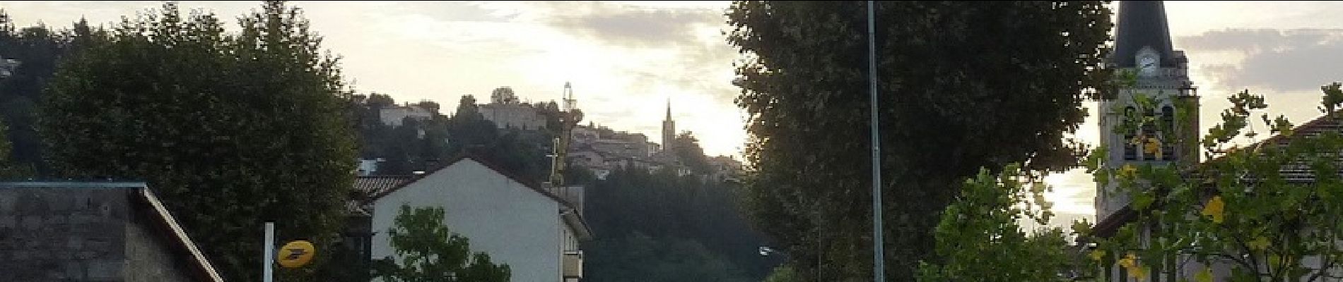
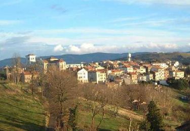
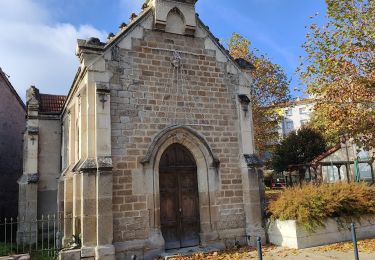
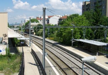
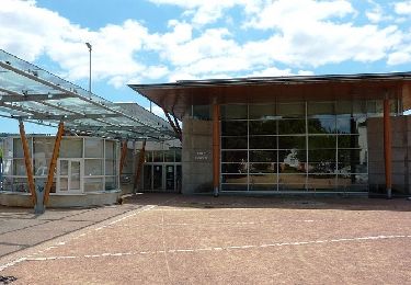
Positioning
Comments
Trails nearby
![Trail Mountain bike Saint-Genest-Lerpt - Rando VTT Les Balades d'automne - Saint Genest Lerpt - Photo](https://media.geolcdn.com/t/375/260/ext.jpg?maxdim=2&url=https%3A%2F%2Fservices.sitytrail.com%2FGeolivesWS%2FDownloadMedia.ashx%3FTrailID%3D107357%26Media%3D12248_6.jpg)
![Mountain bike Mountain bike](https://static1.geolcdn.com/sitytour/trail-icons/202.png)
Mountain bike
![](/images/other/stat-length.png)
![](https://static1.geolcdn.com/siteimages/upload/files/16400158638029165_repeat_loop_refresh_sync_direction_icon.png)
![Trail Walking La Fouillouse - Randonnée au dessus de La Fouillouse - Photo](https://media.geolcdn.com/t/375/260/89b3b03f-398e-4563-a0ed-cff73b535f6c.jpg&format=jpg&maxdim=2)
![Walking Walking](https://static1.geolcdn.com/sitytour/trail-icons/101.png)
Walking
![](/images/other/stat-length.png)
![](https://static1.geolcdn.com/siteimages/upload/files/16400158638029165_repeat_loop_refresh_sync_direction_icon.png)
![Trail On foot Saint-Étienne - Voie Verte Terrasse-Bellevue - Photo](https://media.geolcdn.com/t/375/260/96d4883c-d9c8-402a-9eb6-5267c2e74d6f.jpeg&format=jpg&maxdim=2)
![On foot On foot](https://static1.geolcdn.com/sitytour/trail-icons/100.png)
On foot
![](/images/other/stat-length.png)
![](https://static1.geolcdn.com/siteimages/upload/files/16400158638029165_repeat_loop_refresh_sync_direction_icon.png)
![Trail Motor Villars - Loire, Haute Loire, Ardèche - Photo](https://media.geolcdn.com/t/375/260/ext.jpg?maxdim=2&url=https%3A%2F%2Fstatic1.geolcdn.com%2Fsiteimages%2Fupload%2Ffiles%2F15247431544x4.jpg)
![Motor Motor](https://static1.geolcdn.com/sitytour/trail-icons/400.png)
Motor
![](/images/other/stat-length.png)
![](https://static1.geolcdn.com/siteimages/upload/files/16400158638029165_repeat_loop_refresh_sync_direction_icon.png)
![Trail Walking Sorbiers - sorbiers 23/2 - Photo](https://media.geolcdn.com/t/375/260/ext.jpg?maxdim=2&url=https%3A%2F%2Fstatic1.geolcdn.com%2Fsiteimages%2Fupload%2Ffiles%2F1553511878bg_sport_marche.png)
![Walking Walking](https://static1.geolcdn.com/sitytour/trail-icons/101.png)
Walking
![](/images/other/stat-length.png)
![](https://static1.geolcdn.com/siteimages/upload/files/16400158638029165_repeat_loop_refresh_sync_direction_icon.png)
![Trail Walking Sorbiers - sorbiers - Photo](https://media.geolcdn.com/t/375/260/ext.jpg?maxdim=2&url=https%3A%2F%2Fstatic1.geolcdn.com%2Fsiteimages%2Fupload%2Ffiles%2F1553511878bg_sport_marche.png)
![Walking Walking](https://static1.geolcdn.com/sitytour/trail-icons/101.png)
Walking
![](/images/other/stat-length.png)
![](https://static1.geolcdn.com/siteimages/upload/files/16400158638029165_repeat_loop_refresh_sync_direction_icon.png)
![Trail Walking Sorbiers - sorbiers-st christo - valfeury - Photo](https://media.geolcdn.com/t/375/260/ext.jpg?maxdim=2&url=https%3A%2F%2Fstatic1.geolcdn.com%2Fsiteimages%2Fupload%2Ffiles%2F1553511878bg_sport_marche.png)
![Walking Walking](https://static1.geolcdn.com/sitytour/trail-icons/101.png)
Walking
![](/images/other/stat-length.png)
![](https://static1.geolcdn.com/siteimages/upload/files/16400158638029165_repeat_loop_refresh_sync_direction_icon.png)
![Trail Running Saint-Étienne - SaintéLyon - Photo](https://media.geolcdn.com/t/375/260/ext.jpg?maxdim=2&url=https%3A%2F%2Fstatic1.geolcdn.com%2Fsiteimages%2Fupload%2Ffiles%2F1524743154running.jpg)
![Running Running](https://static1.geolcdn.com/sitytour/trail-icons/103.png)
Running
![](/images/other/stat-length.png)
![](https://static1.geolcdn.com/siteimages/upload/files/16400158638029165_repeat_loop_refresh_sync_direction_icon.png)
![Trail Mountain bike La Talaudière - La 22ème Talaudièroise (VTT-2011) - La Talaudière - Photo](https://media.geolcdn.com/t/375/260/ext.jpg?maxdim=2&url=https%3A%2F%2Fservices.sitytrail.com%2FGeolivesWS%2FDownloadMedia.ashx%3FTrailID%3D106656%26Media%3D11275_6.jpg)
![Mountain bike Mountain bike](https://static1.geolcdn.com/sitytour/trail-icons/202.png)
Mountain bike
![](/images/other/stat-length.png)
![](https://static1.geolcdn.com/siteimages/upload/files/16400158638029165_repeat_loop_refresh_sync_direction_icon.png)