


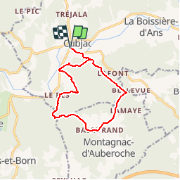


9.3 km | 12.2 km-effort


User


FREE GPS app for hiking
 SityTrail
IGN / Geographical institutes
SityTrail World
The world is yours!
Trail Walking of 12.5 km to be discovered at New Aquitaine, Dordogne, Cubjac-Auvézère-Val d'Ans. This trail is proposed by tracegps.
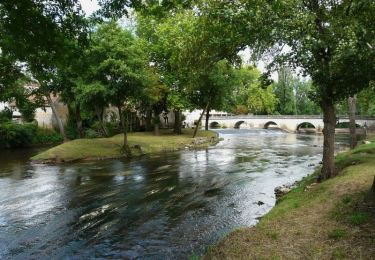
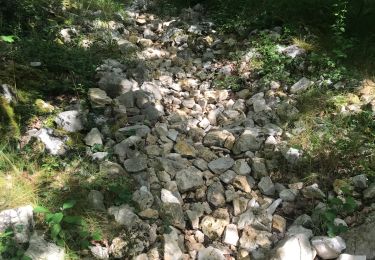
Rando variée et agréable, bien balisée, praticable en tout temps, très peu de route. Départ du pont sur l'Auvézère à Cubjac.


Walking
Walking
On foot
Walking
Walking

Nordic walking
Nordic walking
Walking

Walking