Trail Mountain bike Amayé-sur-Orne - Xtrem Vtt Normandie 2013 - Photo

Xtrem Vtt Normandie 2013

 tracegps
tracegps

User

© OpenStreetMap contributors
Length
Length
91 km
Max alt
Max alt
334 m
Uphill gradient
Uphill gradient
2545 m
Km-Effort
Km-Effort  
125 km
Min alt
Min alt
12 m
Downhill gradient
Downhill gradient
2548 m
Boucle
Boucle
Yes
Creation date :
2014-12-10 00:00:00.0
Updated on :
2014-12-10 00:00:00.0

(0 Reviews)

Mountain bike
Mountain bike
8h00
Difficulty : Very difficult

Scan this QR Code to open this trail in the SityTrail application

FREE GPS app for hiking

Logo SityTrail SityTrail

IGN / Geographical institutes

Download SityTrail from the App Store Download SityTrail from Google Play

Logo SityTrail SityTrail World

The world is yours!

Download SityTrail from the App Store Download SityTrail from Google Play Download SityTrail on Huawei AppGallery

About

Trail Mountain bike of 91 km to be discovered at Normandy, Calvados, Amayé-sur-Orne. This trail is proposed by tracegps.

Description

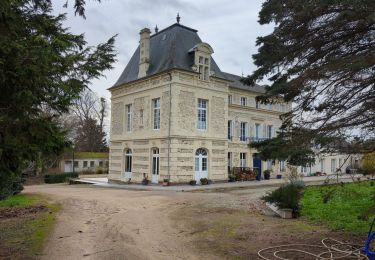
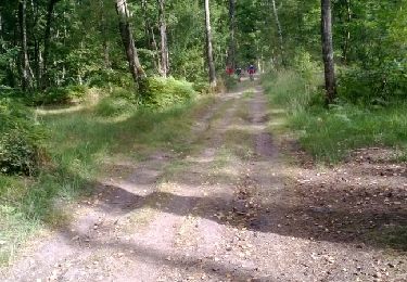
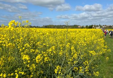
Superbe tracé composé de sentiers de différentes nature aux reliefs divers et variés et offrant de somptueux paysages, de quoi allier effort physique et plaisir des yeux ;) Raid extrême comme son nom l'indique, très bien organisée par le LSAO et le club vtt de Noyers Missy avec des bénévoles adorables qui nous ont bichonnés lors des ravitos. Bravo à toutes ces personnes sans qui de tels évènements ne pourraient avoir lieu ;) Le club LES HAGUARDS vous invite vraiment à participer à la prochaine édition de cette course car elle contribue vraiment à donner toutes les lettres de noblesse à notre sport favori qu'est le VTT. Certains passages sont privés donc il est nécessaire de contourner.

Elevation profile

Photos

Positioning

Country:
France
Region :
Normandy
Department/Province :
Calvados
Municipality :
Amayé-sur-Orne
Location:
Unknown
Start:(UTM)
687611 ; 5439875 (30U) N.

Trails nearby

Trail Mountain bike Montillières-sur-Orne - curcy trois monts - Photo
Mountain bike
albers

Mountain bike

Medium
(1)
Montillières-sur-Orne, Normandy, Calvados, France
28 km | 35 km-effort
1h 59min
Yes
Trail sport Vieux - Vieux17 - Photo
sport
papylou7

sport

Very easy
(1)
Vieux, Normandy, Calvados, France
17.2 km | 20 km-effort
Unknown
Yes
Trail Walking Vieux - Vieux-jp - Photo
Walking
gr1346

Walking

Medium
(1)
Vieux, Normandy, Calvados, France
8.9 km | 10.4 km-effort
2h 37min
No
Trail Mountain bike Saint-André-sur-Orne - La St André  - Photo
Mountain bike
mikeleguerrier

Mountain bike

(1)
Saint-André-sur-Orne, Normandy, Calvados, France
32 km | 37 km-effort
3h 0min
Yes
Trail Mountain bike May-sur-Orne - les mines d'or....ne 2016 65 km - Photo
Mountain bike
albers

Mountain bike

Medium
(1)
May-sur-Orne, Normandy, Calvados, France
65 km | 79 km-effort
5h 4min
Yes
Trail Walking Maizet - COUDRAY 20 KM - Photo
Walking
UDGI54

Walking

Difficult
(2)
Maizet, Normandy, Calvados, France
19.8 km | 25 km-effort
5h 26min
Yes
Trail Mountain bike Amayé-sur-Orne - Xtrem Vtt Normandie 2013 - Amayé Sur Orne - Photo
Mountain bike
tracegps

Mountain bike

Difficult
Amayé-sur-Orne, Normandy, Calvados, France
45 km | 57 km-effort
2h 49min
Yes
Trail Running Mutrécy - reco mouss 27 12 13 - Photo
Running
mouss65

Running

Very easy
(1)
Mutrécy, Normandy, Calvados, France
5.7 km | 7.6 km-effort
1h 59min
No
Trail sport Saint-André-sur-Orne - St André sur orne - Photo
sport
papylou7

sport

Very easy
Saint-André-sur-Orne, Normandy, Calvados, France
13.8 km | 16 km-effort
Unknown
No


Close
My subscriptions