


8.5 km | 10.6 km-effort

User


FREE GPS app for hiking
 SityTrail
IGN / Geographical institutes
SityTrail World
The world is yours!
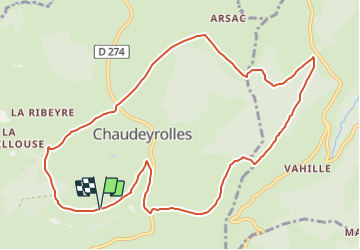
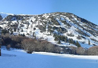
Trail Snowshoes of 11.5 km to be discovered at Auvergne-Rhône-Alpes, Haute-Loire, Chaudeyrolles. This trail is proposed by tracegps.
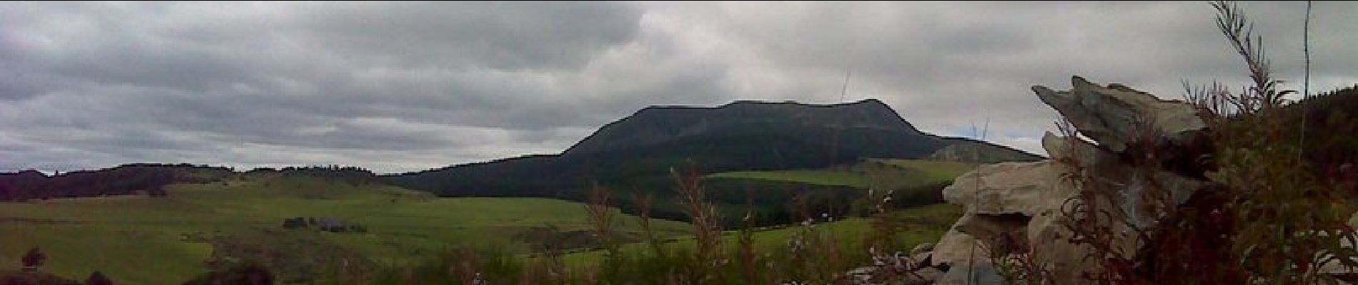
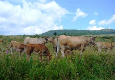
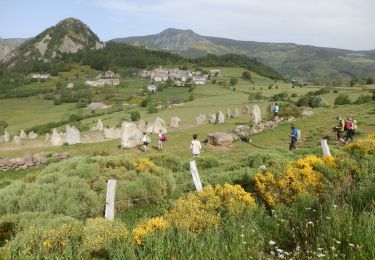
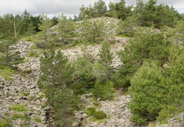
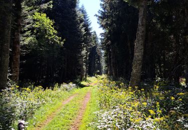
Parcours autour de la lauzière du Mont Signon (1440m) longtemps exploitée sur laquelle vous pouvez accéder par un large sentier de mulets et autour du village de Chaudeyrolles , lieu de vacances de Jules Vallès (cf l'Enfant, chapitre "Voyage au pays"). Ici, le ciel est clair, et s'il monte un peu de fumée, c'est une gaieté dans l'espace ... la rivière est pleine de truites. J'y suis entré une fois jusqu"aux cuisses; j'ai cru que j'avais les jambes coupées avec uns scie de glace." On tourne autour des sagnes , vaste maar où croît la drosera. Bonne route: mais prévoyez des vêtements chauds !


Walking
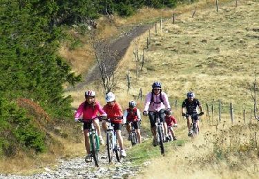
Mountain bike
Mountain bike
Walking

Walking

Walking
Walking
Walking
Walking