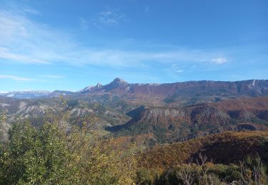
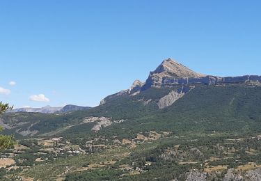
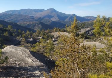
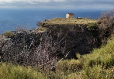
15.4 km | 29 km-effort
crête de feston
jlouis
User
Length
12.5 km
Max alt
1060 m
Uphill gradient
434 m
Km-Effort
18.2 km
Min alt
766 m
Downhill gradient
436 m
Boucle
Yes
Creation date :
2022-03-14 08:22:59.2
Updated on :
2022-03-16 16:56:53.183
5h45
Difficulty : Difficult
FREE GPS app for hiking
About
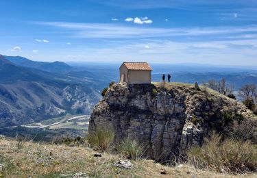
Trail Walking of 12.5 km to be discovered at Provence-Alpes-Côte d'Azur, Alpes-de-Haute-Provence, Digne-les-Bains. This trail is proposed by jlouis .
Positioning
Country:
France
Region :
Provence-Alpes-Côte d'Azur
Department/Province :
Alpes-de-Haute-Provence
Municipality :
Digne-les-Bains
Location:
Unknown
Start:(Dec)
Start:(UTM)
282907 ; 4881690 (32T) N.
Comments
Trails nearby
Le Cousson
Walking
Difficult
(1)
Digne-les-Bains,
Provence-Alpes-Côte d'Azur,
Alpes-de-Haute-Provence,
France
6h 39min
Yes
Chapelle St Pancrace 18.11.23
Walking
Easy
Digne-les-Bains,
Provence-Alpes-Côte d'Azur,
Alpes-de-Haute-Provence,
France
5.2 km | 8.3 km-effort
1h 50min
Yes
65bis-Digne- Cousson N et S- Caramantran- Digne
Walking
Medium
(1)
Digne-les-Bains,
Provence-Alpes-Côte d'Azur,
Alpes-de-Haute-Provence,
France
17.4 km | 32 km-effort
3h 49min
Yes
Tour du Cousson
Walking
Medium
Entrages,
Provence-Alpes-Côte d'Azur,
Alpes-de-Haute-Provence,
France
12.6 km | 22 km-effort
6h 19min
Yes
Le Cousson 19.11.23
Walking
Medium
Entrages,
Provence-Alpes-Côte d'Azur,
Alpes-de-Haute-Provence,
France
12.5 km | 22 km-effort
4h 30min
Yes
Le Sommet du Cousson
On foot
Medium
Entrages,
Provence-Alpes-Côte d'Azur,
Alpes-de-Haute-Provence,
France
11.8 km | 21 km-effort
4h 50min
Yes
DIGNE . LES ROBINES DU BANASTRE n ol
Walking
Easy
Marcoux,
Provence-Alpes-Côte d'Azur,
Alpes-de-Haute-Provence,
France
11.4 km | 17.2 km-effort
3h 27min
Yes
ENTRAGES Tour et crête du Feston o s l
Walking
Medium
Digne-les-Bains,
Provence-Alpes-Côte d'Azur,
Alpes-de-Haute-Provence,
France
12.7 km | 18.7 km-effort
4h 13min
Yes
GTA 2018 - ETAPE 8
Motorbike
Easy
Digne-les-Bains,
Provence-Alpes-Côte d'Azur,
Alpes-de-Haute-Provence,
France
247 km | 308 km-effort
10h 20min
No