


7.7 km | 10.1 km-effort

User


FREE GPS app for hiking
 SityTrail
IGN / Geographical institutes
SityTrail World
The world is yours!
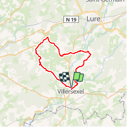
Trail Cycle of 40 km to be discovered at Bourgogne-Franche-Comté, Haute-Saône, Villersexel. This trail is proposed by tracegps.
Le circuit proposé est une variante du circuit officiel, il emprunte entre Longevelle et Gouhenans une route sympathique et peu fréquentée. Départ depuis le parking de la base nautique de Villersexel puis prendre direction Saint-Sulpice et suivre la pancarte "Boucle des Monts de l'Ognon 40km". Circuit balisé dans les 2 sens. Joli point de vue au sommet de la côté entre Liévans et Autrey-lès-Cerre. Vous pouvez retrouver le circuit officiel sur le site du tourisme en Haute-Saône.
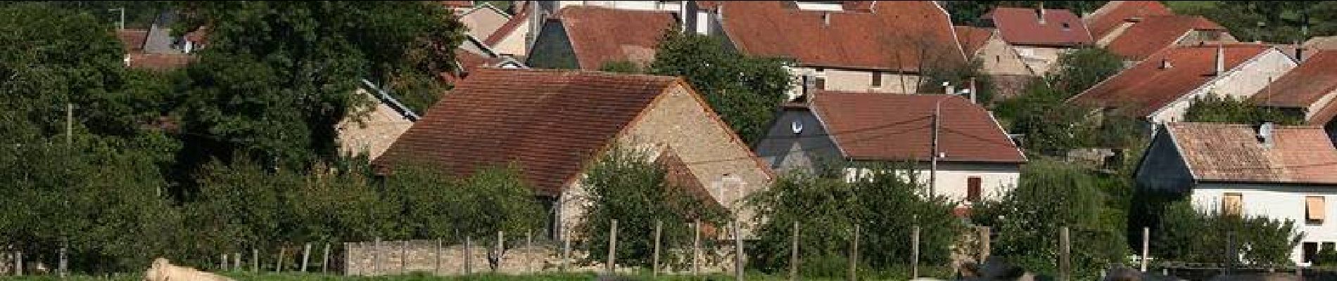
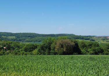
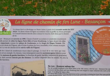
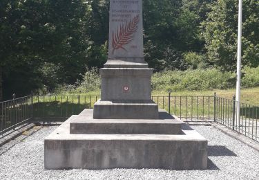
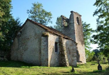
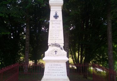
 - Villersexel - Photo 1")
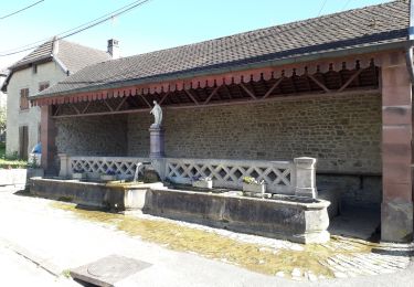
 - Villersexel - Photo 2")
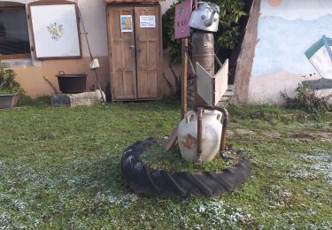
 - Villersexel - Photo 3")
 - Villersexel - Photo 4")
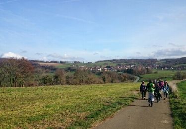
 - Villersexel - Photo 5")
 - Villersexel - Photo 6")
Walking
Mountain bike
Mountain bike
Walking
Walking
Walking
Walking
Walking

Nordic walking