7.8 km | 10.4 km-effort
castelnau Mandailles
bouscaillou
User
Length
16.6 km
Max alt
752 m
Uphill gradient
669 m
Km-Effort
26 km
Min alt
414 m
Downhill gradient
669 m
Boucle
Yes
Creation date :
2022-03-16 09:14:45.64
Updated on :
2022-03-16 15:26:42.322
6h11
Difficulty : Very difficult
FREE GPS app for hiking
About
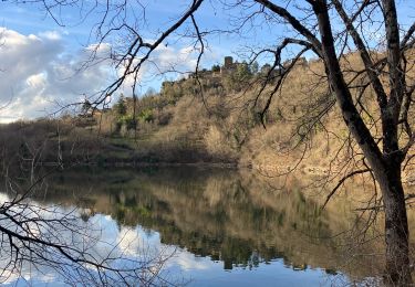
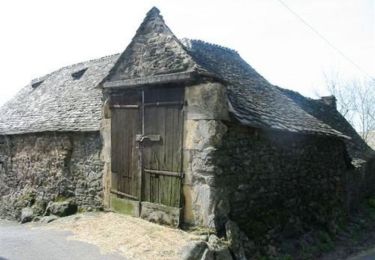
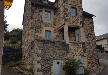
Trail Walking of 16.6 km to be discovered at Occitania, Aveyron, Castelnau-de-Mandailles. This trail is proposed by bouscaillou.
Positioning
Country:
France
Region :
Occitania
Department/Province :
Aveyron
Municipality :
Castelnau-de-Mandailles
Location:
Unknown
Start:(Dec)
Start:(UTM)
490966 ; 4931444 (31T) N.
Comments
Trails nearby
Prades d'Aubrac Chemin du Serre & Ronde des Crêtes
Nordic walking
Very easy
Prades-d'Aubrac,
Occitania,
Aveyron,
France
1h 58min
Yes
Mandailles-Puech du Barry
Walking
Medium
Castelnau-de-Mandailles,
Occitania,
Aveyron,
France
16.6 km | 26 km-effort
5h 16min
Yes
Site VTT FFC Aubrac - Vallée du Lot - Circuit n°6 - Le Vieux Chemin
Mountain bike
Difficult
Prades-d'Aubrac,
Occitania,
Aveyron,
France
11.8 km | 16.1 km-effort
1h 4min
Yes
trail d'aqui départ la Rozière
Walking
Difficult
Saint-Côme-d'Olt,
Occitania,
Aveyron,
France
13.7 km | 22 km-effort
4h 9min
Yes
bonauberg
Walking
Easy
Saint-Côme-d'Olt,
Occitania,
Aveyron,
France
8.8 km | 11.6 km-effort
2h 28min
Yes
Cave. combe
Walking
Easy
Saint-Côme-d'Olt,
Occitania,
Aveyron,
France
8.7 km | 11.4 km-effort
2h 33min
Yes
Salgues 2012
Mountain bike
Difficult
Condom-d'Aubrac,
Occitania,
Aveyron,
France
69 km | 98 km-effort
6h 40min
Yes
laguiole 4juil2023
Walking
Medium
Saint-Chély-d'Aubrac,
Occitania,
Aveyron,
France
63 km | 84 km-effort
9h 33min
No
202011-CastelanauDeMandailles
On foot
Medium
Castelnau-de-Mandailles,
Occitania,
Aveyron,
France
17.6 km | 26 km-effort
Unknown
No