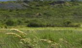

Tour de Lannéanou

tracegps
User

Length
14.8 km

Max alt
283 m

Uphill gradient
302 m

Km-Effort
18.8 km

Min alt
187 m

Downhill gradient
295 m
Boucle
Yes
Creation date :
2014-12-10 00:00:00.0
Updated on :
2014-12-10 00:00:00.0
3h40
Difficulty : Difficult

FREE GPS app for hiking
About
Trail Walking of 14.8 km to be discovered at Brittany, Finistère, Lannéanou. This trail is proposed by tracegps.
Description
Circuit autour de Lannéanou. Vues sur les Monts d'Arrée, landes, bocages, chemin creux..... Une grande partie du circuit correspond à la rando "Sentier de Bleuniou Kaer" du topoguide PR "Le Pays de Morlaix à pied".
Positioning
Country:
France
Region :
Brittany
Department/Province :
Finistère
Municipality :
Lannéanou
Location:
Unknown
Start:(Dec)
Start:(UTM)
450300 ; 5370928 (30U) N.
Comments
Trails nearby
1er septembre plougonven


Walking
Easy
Plougonven,
Brittany,
Finistère,
France

10.4 km | 12 km-effort
3h 53min
Yes
Sentiers buissonniers à Botsorhel


Walking
Difficult
(1)
Botsorhel,
Brittany,
Finistère,
France

14.2 km | 18.5 km-effort
4h 30min
Yes
Autour de Plougonven


Walking
Easy
Plougonven,
Brittany,
Finistère,
France

4.1 km | 4.8 km-effort
1h 0min
Yes

Botshorel Morlaix


On foot
Difficult
Botsorhel,
Brittany,
Finistère,
France

29 km | 35 km-effort
8h 3min
No

2022-04-02_21h02m45_SityTrail - 3150665 - et5xbotsorhelxmorlaix


On foot
Difficult
Botsorhel,
Brittany,
Finistère,
France

30 km | 36 km-effort
8h 10min
No
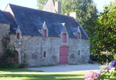
Gaspern en Plougonven


Walking
Medium
Plougonven,
Brittany,
Finistère,
France

13.2 km | 16.1 km-effort
3h 30min
Yes
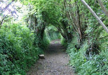
Espace VTT-FFC Morlaix Monts d'Arrée, circuit n°9 de Plougonven


Mountain bike
Easy
(1)
Plougonven,
Brittany,
Finistère,
France

11.6 km | 14.4 km-effort
1h 0min
Yes
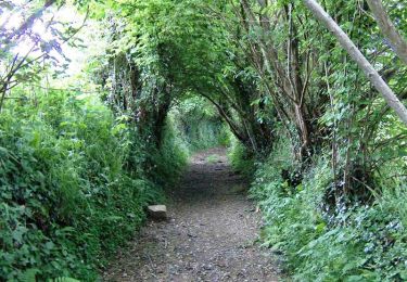
Espace VTT-FFC Morlaix Monts d'Arrée, circuit n°9 de Plougonven


Walking
Medium
Plougonven,
Brittany,
Finistère,
France

11.6 km | 14.4 km-effort
2h 0min
Yes

29_Botsorhel


Walking
Medium
Botsorhel,
Brittany,
Finistère,
France

14.3 km | 18.6 km-effort
3h 22min
Yes


 SityTrail


