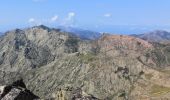
Trail Walking Albertacce - Punta Licciola - Photo
 tracegps
tracegps

User

© OpenStreetMap contributors
Length
Length
12.9 km
Max alt
Max alt
2199 m
Uphill gradient
Uphill gradient
984 m
Km-Effort
Km-Effort  
26 km
Min alt
Min alt
1247 m
Downhill gradient
Downhill gradient
986 m
Boucle
Boucle
Yes
Creation date :
2014-12-10 00:00:00.0
Updated on :
2014-12-10 00:00:00.0

(0 Reviews)

Walking
Walking
9h00
Difficulty : Medium

Scan this QR Code to open this trail in the SityTrail application

FREE GPS app for hiking

Logo SityTrail SityTrail
IGN / Geographical institutes

Download SityTrail from the App Store Download SityTrail from Google Play

Logo SityTrail SityTrail World

The world is yours!

Download SityTrail from the App Store Download SityTrail from Google Play Download SityTrail on Huawei AppGallery

About

Trail Walking of 12.9 km to be discovered at Corsica, Haute-Corse, Albertacce. This trail is proposed by tracegps.

Description

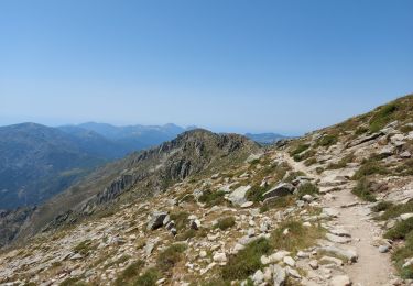
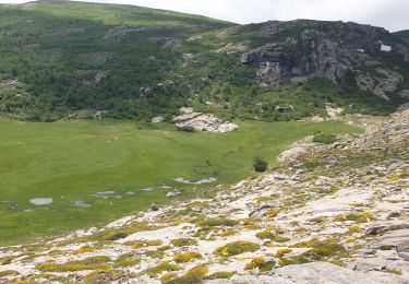
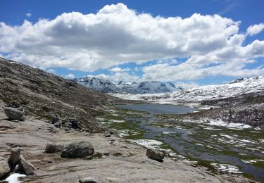
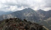
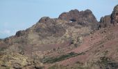
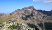
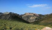
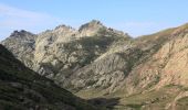
Punta Licciola fait partie de ces belvédères du secteur de Paglia Orba, très peu fréquentés, mais qui méritent largement d'être visités. Au delà des reliefs proches entourant les vallées du Golo et du Viro que Punta Licciola sépare, le panorama s'étend sur les principaux sommets de la Corse, comme par exemple Punta Minuta, Monte Cinto ou Monte Rotondo... et en point d'orgue, Paglia Orba avec sa façade Sud; on entrevoit même les golfes de Sagone et de Porto. L'itinéraire proposé ne présente pas de difficultés techniques, ou de passages exposés, mais sa partie terminale hors sentier, est quelque peu chaotique. Plus de détails et de nombreuses autres photos sur cette page.

Elevation profile

Photos

Positioning

Country:
France
Region :
Corsica
Department/Province :
Haute-Corse
Municipality :
Albertacce
Location:
Unknown
Start:(UTM)
490555 ; 4682769 (32T) N.

Trails nearby

Trail Walking Albertacce - Bivouac dans le GR 20 via lac Nino - Photo
Walking
Sebastienburette

Walking

Medium
(1)
Albertacce, Corsica, Haute-Corse, France
9.8 km | 17.6 km-effort
5h 5min
No
Trail Walking Albertacce - 01/06/2013 9:25lac Nino - Photo
Walking
GUIDE
Orcal37

Walking

Difficult
Albertacce, Corsica, Haute-Corse, France
5.2 km | 12.1 km-effort
6h 15min
No
Trail Walking Albertacce - Guy Goujon - Photo
Walking
bdettebernard48

Walking

Medium
(1)
Albertacce, Corsica, Haute-Corse, France
4 km | 8.6 km-effort
Unknown
Yes
Trail Walking Albertacce - Castel du Vergio refuge de Mangani - Photo
Walking
GUIDE
Roger Philippe Wallez

Walking

Very difficult
Albertacce, Corsica, Haute-Corse, France
15.8 km | 24 km-effort
5h 17min
No
Trail Walking Évisa - Corse 2023: Refuge de Puscaghia - Tuvarelli - Photo
Walking
dauzata

Walking

Medium
Évisa, Corsica, South Corsica, France
18.8 km | 26 km-effort
5h 52min
No
Trail Walking Évisa - Evisa forêt d’aitone  - Photo
Walking
GUIDE
antignacs

Walking

Easy
Évisa, Corsica, South Corsica, France
13.4 km | 19.7 km-effort
4h 11min
Yes
Trail Walking Albertacce - Lac nino  - Photo
Walking
GUIDE
antignacs

Walking

Difficult
Albertacce, Corsica, Haute-Corse, France
17 km | 28 km-effort
7h 34min
Yes
Trail Walking Albertacce - lac de nino(niellu) - Photo
Walking
loca.yves

Walking

Very difficult
Albertacce, Corsica, Haute-Corse, France
9.4 km | 18.8 km-effort
4h 12min
Yes
Trail Walking Albertacce - Trou du diable du capu tafunatu - Photo
Walking
PVERTICAL

Walking

Medium
Albertacce, Corsica, Haute-Corse, France
15.4 km | 29 km-effort
5h 40min
Yes


Close
My subscriptions