

Tour de Ploemel - Ploemel

tracegps
User

Length
16.2 km

Max alt
42 m

Uphill gradient
125 m

Km-Effort
17.8 km

Min alt
17 m

Downhill gradient
124 m
Boucle
Yes
Creation date :
2014-12-10 00:00:00.0
Updated on :
2014-12-10 00:00:00.0
45m
Difficulty : Medium

FREE GPS app for hiking
About
Trail Mountain bike of 16.2 km to be discovered at Brittany, Morbihan, Ploemel. This trail is proposed by tracegps.
Description
Parcours essentiellement en sous-bois qui fait une boucle autour de Ploemel et de St Laurent. On croise quelques chapelles, croix du 1er siècle.
Positioning
Country:
France
Region :
Brittany
Department/Province :
Morbihan
Municipality :
Ploemel
Location:
Unknown
Start:(Dec)
Start:(UTM)
494566 ; 5277481 (30T) N.
Comments
Trails nearby

Ploemel stirwen


Running
Medium
(3)
Ploemel,
Brittany,
Morbihan,
France

9 km | 10.1 km-effort
1h 40min
Yes

Ploemel Kaer gaer


Walking
Medium
(1)
Ploemel,
Brittany,
Morbihan,
France

9.1 km | 10.1 km-effort
1h 45min
Yes

Circuit des Abbayes


On foot
Easy
Plouharnel,
Brittany,
Morbihan,
France

8 km | 8.7 km-effort
1h 58min
Yes

Ty Bocquet 19-11-16 .


Other activity
Very easy
(1)
Ploemel,
Brittany,
Morbihan,
France

5.1 km | 5.5 km-effort
57min
Yes
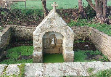
PR_56_Locoal-Mendon_AA_01_Circuit1b_Ty-Er-Chir-Kernous_20240107


Walking
Easy
Locoal-Mendon,
Brittany,
Morbihan,
France

7.8 km | 8.9 km-effort
1h 46min
Yes
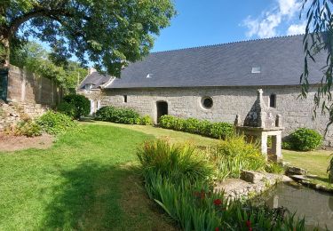
PR_56_Ploemel_BA_02_Circuit1b_Chapelles-Et-Fontaines_20230810


Walking
Very easy
Ploemel,
Brittany,
Morbihan,
France

10.3 km | 11.3 km-effort
2h 2min
Yes
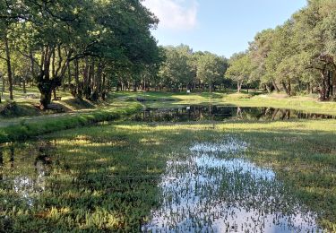
PR_56_Ploemel_AA_01_Circuit1b_Tro-Plenuer_20230806


Walking
Medium
Ploemel,
Brittany,
Morbihan,
France

7.6 km | 8.5 km-effort
1h 55min
Yes
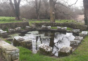
Kerhelkegant,Sainte Barbe,mer


Walking
Very easy
Plouharnel,
Brittany,
Morbihan,
France

8.3 km | 9 km-effort
1h 57min
Yes
PR_56_Plouharnel_BA_02_Circuit1b_Crucuno_20230303


Walking
Very easy
Plouharnel,
Brittany,
Morbihan,
France

8.7 km | 9.4 km-effort
2h 1min
Yes


 SityTrail


