


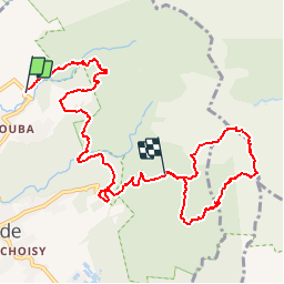

17.3 km | 37 km-effort


User


FREE GPS app for hiking
 SityTrail
IGN / Geographical institutes
SityTrail World
The world is yours!
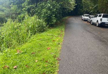
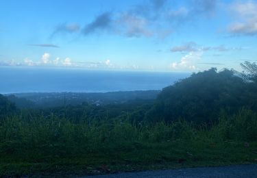
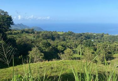
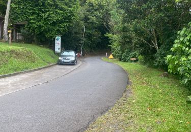
Trail Walking of 14.6 km to be discovered at Guadeloupe, Unknown, Saint-Claude. This trail is proposed by tracegps.
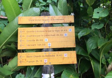
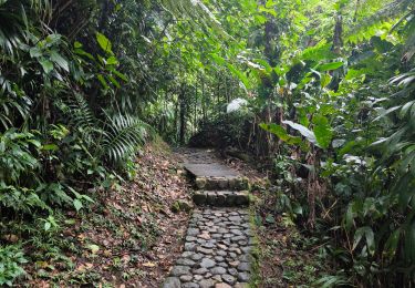
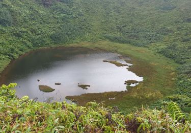
Parcours sympathique qui se situe autour de la Soufrière... marche rapide 3H45, promenade environ 6H. La première partie est en forêt traversée de rivières, surplomb cascade, la seconde contournement de la Soufrière, partie la plus dure en dénivelé!


Other activity
Walking
Walking

Walking
Trail
Trail
Trail

Walking
Trail
ok