


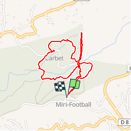

10.8 km | 13.3 km-effort


User


FREE GPS app for hiking
 SityTrail
IGN / Geographical institutes
SityTrail World
The world is yours!
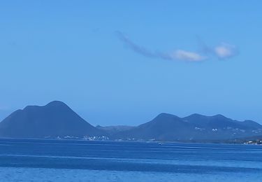
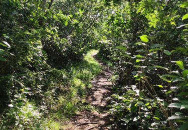
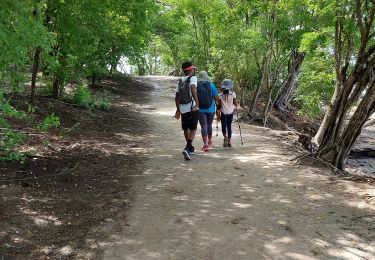
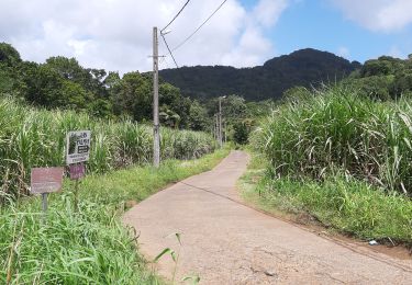
Trail Walking of 3 km to be discovered at Martinique, Unknown, Sainte-Luce. This trail is proposed by tracegps.
Circuit bien agréable et relativement facile pour débuter à randonner à la Martinique. Attention toutefois car en cas de pluie le terrain peut-être très glissant.
Walking

Walking
Walking
Walking
Walking
Walking
Walking
Walking
Walking