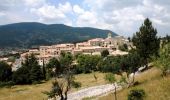

La Traversée du Ventoux Est - Savoillan

tracegps
User

Length
17 km

Max alt
1237 m

Uphill gradient
875 m

Km-Effort
28 km

Min alt
514 m

Downhill gradient
605 m
Boucle
No
Creation date :
2014-12-10 00:00:00.0
Updated on :
2014-12-10 00:00:00.0
4h40
Difficulty : Very difficult

FREE GPS app for hiking
About
Trail Walking of 17 km to be discovered at Provence-Alpes-Côte d'Azur, Vaucluse, Savoillan. This trail is proposed by tracegps.
Description
Sans monter très haut, cette traversée permet d’observer les contrastes entre les deux versants du Ventoux et de bénéficier de vastes points de vue sur les Préalpes et le Pays d’Albion.
Positioning
Country:
France
Region :
Provence-Alpes-Côte d'Azur
Department/Province :
Vaucluse
Municipality :
Savoillan
Location:
Unknown
Start:(Dec)
Start:(UTM)
689842 ; 4894554 (31T) N.
Comments
Trails nearby
Couleurs d'automne au Ventouret


Walking
Medium
Aurel,
Provence-Alpes-Côte d'Azur,
Vaucluse,
France

4.8 km | 6.3 km-effort
1h 26min
Yes
Font de Margot / Jas Forest


Walking
Medium
Aurel,
Provence-Alpes-Côte d'Azur,
Vaucluse,
France

11.5 km | 16.7 km-effort
2h 46min
Yes
Enduro Lilou Collet de Robin


Mountain bike
Medium
Bédoin,
Provence-Alpes-Côte d'Azur,
Vaucluse,
France

23 km | 29 km-effort
2h 1min
No
Enduro les Pins Noirs


Mountain bike
Difficult
Bédoin,
Provence-Alpes-Côte d'Azur,
Vaucluse,
France

37 km | 49 km-effort
2h 55min
No
Le Pas de la Frache


Walking
Medium
Aurel,
Provence-Alpes-Côte d'Azur,
Vaucluse,
France

9.8 km | 14.6 km-effort
4h 19min
Yes
Enduro ventoux Jas de Roubin


Mountain bike
Medium
Bédoin,
Provence-Alpes-Côte d'Azur,
Vaucluse,
France

23 km | 30 km-effort
2h 3min
No
Cabane de Pié Gù


Walking
Medium
Savoillan,
Provence-Alpes-Côte d'Azur,
Vaucluse,
France

10.2 km | 16.6 km-effort
3h 14min
Yes
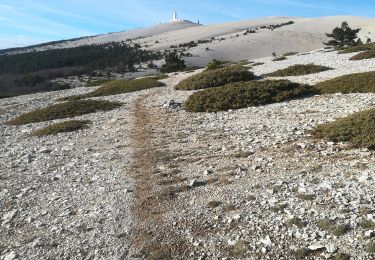
Les Glacières du Facteur


Walking
Very difficult
Bédoin,
Provence-Alpes-Côte d'Azur,
Vaucluse,
France

13.2 km | 21 km-effort
4h 43min
Yes
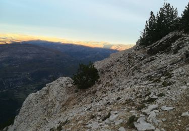
sentier du Vertige


Walking
Difficult
Bédoin,
Provence-Alpes-Côte d'Azur,
Vaucluse,
France

7.4 km | 12.3 km-effort
2h 54min
Yes


 SityTrail


