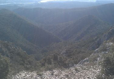
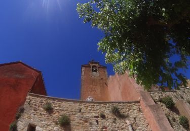
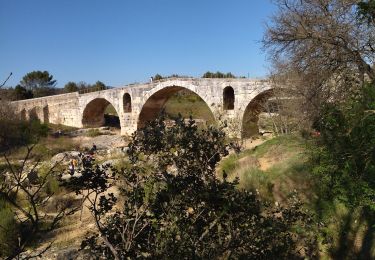
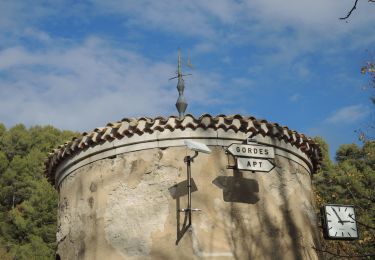
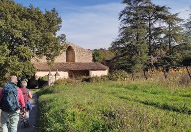
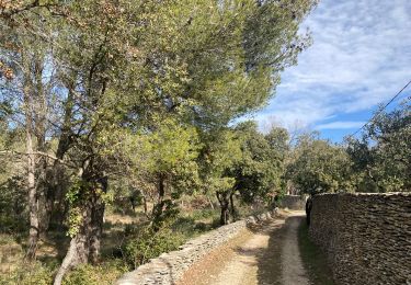
Trail Walking Goult - PF-Goult - Beaumettes - Lumières - 15.03.2022 - Photo

PF-Goult - Beaumettes - Lumières - 15.03.2022

 MicDul
MicDul

User

© OpenStreetMap contributors
Length
Length
13.2 km
Max alt
Max alt
259 m
Uphill gradient
Uphill gradient
406 m
Km-Effort
Km-Effort  
18.6 km
Min alt
Min alt
127 m
Downhill gradient
Downhill gradient
406 m
Boucle
Boucle
Yes
Creation date :
2022-03-15 08:32:00.0
Updated on :
2022-03-16 13:56:58.74

(0 Reviews)

Walking
Walking
3h52
Difficulty : Difficult

Scan this QR Code to open this trail in the SityTrail application

FREE GPS app for hiking

Logo SityTrail SityTrail

IGN / Geographical institutes

Download SityTrail from the App Store Download SityTrail from Google Play

Logo SityTrail SityTrail World

The world is yours!

Download SityTrail from the App Store Download SityTrail from Google Play Download SityTrail on Huawei AppGallery

About

Trail Walking of 13.2 km to be discovered at Provence-Alpes-Côte d'Azur, Vaucluse, Goult. This trail is proposed by MicDul.

Elevation profile

Photos

98 photos in total. Please click on a photo to see them all in the gallery.

Positioning

Country:
France
Region :
Provence-Alpes-Côte d'Azur
Department/Province :
Vaucluse
Municipality :
Goult
Location:
Unknown
Start:(UTM)
680297 ; 4859093 (31T) N.

Trails nearby

Trail Walking Ménerbes - tt - Photo
Walking
woody85

Walking

Difficult
(2)
Ménerbes, Provence-Alpes-Côte d'Azur, Vaucluse, France
25 km | 37 km-effort
4h 37min
Yes
Trail Walking Ménerbes - Gde rando Ménerbes-Oppède-Les hautes Plaines-Abbayes de saint hillaire  - Photo
Walking
woody85

Walking

Difficult
(1)
Ménerbes, Provence-Alpes-Côte d'Azur, Vaucluse, France
23 km | 35 km-effort
2h 48min
Yes
Trail Mountain bike Roussillon - activity_9127223319 - Photo
Mountain bike
GUIDE
pascalou73

Mountain bike

Easy
Roussillon, Provence-Alpes-Côte d'Azur, Vaucluse, France
11.5 km | 15.4 km-effort
1h 4min
No
Trail Road bike Ménerbes - 84 menerbes saignon Apt voie verte - Photo
Road bike
GUIDE
randodyssée

Road bike

Medium
Ménerbes, Provence-Alpes-Côte d'Azur, Vaucluse, France
90 km | 109 km-effort
8h 55min
No
Trail Mountain bike Beaumettes - vttpll_47_LES_BEAUMETTES_Du_Calavon_au_col_de_Gordes - Photo
Mountain bike
denel

Mountain bike

Easy
(1)
Beaumettes, Provence-Alpes-Côte d'Azur, Vaucluse, France
13.1 km | 16.6 km-effort
1h 8min
Yes
Trail Walking Bonnieux - Bonnieux ➡️ Lacoste  - Photo
Walking
nana1643

Walking

Medium
Bonnieux, Provence-Alpes-Côte d'Azur, Vaucluse, France
10.6 km | 14.8 km-effort
3h 25min
Yes
Trail Walking Bonnieux - 2020-08-06_22h20m15_20200806_Bonnieux - Photo
Walking
Moullec

Walking

Very difficult
Bonnieux, Provence-Alpes-Côte d'Azur, Vaucluse, France
16.5 km | 27 km-effort
5h 31min
Yes
Trail Walking Beaumettes - PF-Beaumettes - La Virginière - Photo
Walking
MicDul

Walking

Easy
Beaumettes, Provence-Alpes-Côte d'Azur, Vaucluse, France
6.4 km | 7.5 km-effort
1h 45min
Yes
Trail Walking Gordes - gordes 30 sept 2015 - Photo
Walking
fernandezyvan

Walking

Very difficult
Gordes, Provence-Alpes-Côte d'Azur, Vaucluse, France
17.7 km | 24 km-effort
5h 4min
Yes


Close
My subscriptions