![](/images/other/stat-length.png)
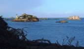
![Trail Walking Plougasnou - Tour du Trégor morlaisien GR® 380 - GR® 34D: St Samson - Morlaix - Photo](https://media.geolcdn.com/t/1900/400/ext.pjpeg?maxdim=2&url=https%3A%2F%2Fservices.sitytrail.com%2FGeolivesWS%2FDownloadMedia.ashx%3FTrailID%3D316772%26Media%3D5174_1.jpg)
Tour du Trégor morlaisien GR® 380 - GR® 34D: St Samson - Morlaix
tracegps
User
![Length](/images/other/stat-length.png)
![Max alt](https://static1.geolcdn.com/siteimages/upload/files/1508320355ic_sort_altitude_max_24dp.png)
![Uphill gradient](https://static1.geolcdn.com/siteimages/upload/files/1508320355ic_sort_den_pos_24dp.png)
![Km-Effort](/images/other/stat-length.png)
![Min alt](https://static1.geolcdn.com/siteimages/upload/files/1508320355ic_sort_altitude_min_24dp.png)
![Downhill gradient](https://static1.geolcdn.com/siteimages/upload/files/1508320355ic_sort_den_neg_24dp.png)
![Boucle](https://static1.geolcdn.com/siteimages/upload/files/16400158638029165_repeat_loop_refresh_sync_direction_icon.png)
![Walking](https://static1.geolcdn.com/sitytour/trail-icons/101.png)
4h19
Difficulty : Difficult
![Scan this QR Code to open this trail in the SityTrail application](https://capi.geolives.com/qq0zvz2zws4bq2lad0pu/sitytour/trails/316772/qr.png?size=200)
FREE GPS app for hiking
About
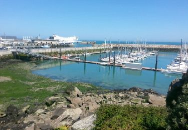
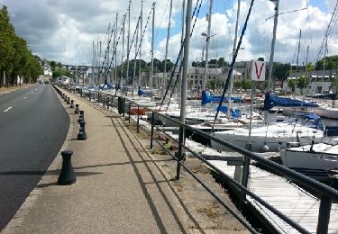
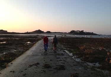
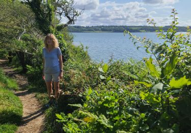
Trail Walking of 21 km to be discovered at Brittany, Finistère, Plougasnou. This trail is proposed by tracegps.
Description
Tour du Trégor morlaisien GR® 380 - GR® 34D: St Samson - Morlaix. Dernière étape. Vous trouverez le descriptif détaillé de cette randonnée dans le Topo-guide® de la Fédération Française de la Randonnée Pédestre. Le découpage proposé ici est donné à titre indicatif pour équilibrer la distance de chaque tronçon. Chacun peut l’adapter à son niveau. Pour toute information complémentaire sur la randonnée : Comité départemental du Finistère: 4 ROUTE DE ST RENAN BP 02 29810 PLOUARZEL Tél. : 0298896006
Positioning
Comments
Trails nearby
![Trail Walking Carantec - N°2 Carantec - Roscoff (30.08.23) - Photo](https://media.geolcdn.com/t/375/260/ext.jpg?maxdim=2&url=https%3A%2F%2Fstatic1.geolcdn.com%2Fsiteimages%2Fupload%2Ffiles%2F1553511878bg_sport_marche.png)
![Walking Walking](https://static1.geolcdn.com/sitytour/trail-icons/101.png)
Walking
![](/images/other/stat-length.png)
![](https://static1.geolcdn.com/siteimages/upload/files/16400158638029165_repeat_loop_refresh_sync_direction_icon.png)
![Trail Walking Carantec - 30.08.23 Carantec -- Roscoff - Photo](https://media.geolcdn.com/t/375/260/a939044f-ea50-435a-ad51-7a43207b839a.jpg&format=jpg&maxdim=2)
![Walking Walking](https://static1.geolcdn.com/sitytour/trail-icons/101.png)
Walking
![](/images/other/stat-length.png)
![](https://static1.geolcdn.com/siteimages/upload/files/16400158638029165_repeat_loop_refresh_sync_direction_icon.png)
![Trail Walking Plougasnou - Bretagne nord J5 De Plougasnou à Guimaec - Photo](https://media.geolcdn.com/t/375/260/118e1567-0c85-46a5-ab8d-c11428bacbfb.jpg&format=jpg&maxdim=2)
![Walking Walking](https://static1.geolcdn.com/sitytour/trail-icons/101.png)
Walking
![](/images/other/stat-length.png)
![](https://static1.geolcdn.com/siteimages/upload/files/16400158638029165_repeat_loop_refresh_sync_direction_icon.png)
![Trail Walking Carantec - Tour de l'île Callot - Photo](https://media.geolcdn.com/t/375/260/81a2c851-db0f-4393-b8b8-d71c962b11f2.jpg&format=jpg&maxdim=2)
![Walking Walking](https://static1.geolcdn.com/sitytour/trail-icons/101.png)
Walking
![](/images/other/stat-length.png)
![](https://static1.geolcdn.com/siteimages/upload/files/16400158638029165_repeat_loop_refresh_sync_direction_icon.png)
![Trail Walking Plougasnou - Térénez-Barnenez - Photo](https://media.geolcdn.com/t/375/260/6aec81da-7722-49b0-9040-638ae7843a7d.jpg&format=jpg&maxdim=2)
![Walking Walking](https://static1.geolcdn.com/sitytour/trail-icons/101.png)
Walking
![](/images/other/stat-length.png)
![](https://static1.geolcdn.com/siteimages/upload/files/16400158638029165_repeat_loop_refresh_sync_direction_icon.png)
![Trail Walking Carantec - GR 34 étape 25 - Photo](https://media.geolcdn.com/t/375/260/ext.jpg?maxdim=2&url=https%3A%2F%2Fservices.sitytrail.com%2FGeolivesWS%2FDownloadMedia.ashx%3FTrailID%3D318904%26Media%3Dfix__20140515152236.jpg)
![Walking Walking](https://static1.geolcdn.com/sitytour/trail-icons/101.png)
![Trail Walking Plougasnou - GR 34 étape 23 - Photo](https://media.geolcdn.com/t/375/260/ext.jpg?maxdim=2&url=https%3A%2F%2Fservices.sitytrail.com%2FGeolivesWS%2FDownloadMedia.ashx%3FTrailID%3D318889%26Media%3Dfix__20140513155019.jpg)
![Walking Walking](https://static1.geolcdn.com/sitytour/trail-icons/101.png)
![Trail Walking Carantec - île callot - Photo](https://media.geolcdn.com/t/375/260/ext.jpg?maxdim=2&url=https%3A%2F%2Fservices.sitytrail.com%2FGeolivesWS%2FDownloadMedia.ashx%3FTrailID%3D202994%26Media%3D20130705215647.jpg)
![Walking Walking](https://static1.geolcdn.com/sitytour/trail-icons/101.png)
Walking
![](/images/other/stat-length.png)
![](https://static1.geolcdn.com/siteimages/upload/files/16400158638029165_repeat_loop_refresh_sync_direction_icon.png)
![Trail Walking Plouezoc'h - barnenez - Photo](https://media.geolcdn.com/t/375/260/348b96d9-3093-414c-bffe-8934cade33b9.jpg&format=jpg&maxdim=2)
![Walking Walking](https://static1.geolcdn.com/sitytour/trail-icons/101.png)