


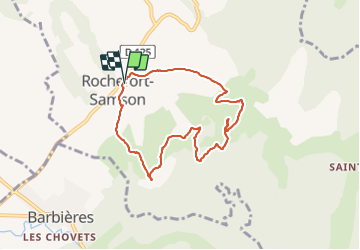

11.6 km | 23 km-effort


User


FREE GPS app for hiking
 SityTrail
IGN / Geographical institutes
SityTrail World
The world is yours!
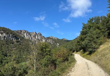
Trail Walking of 7.5 km to be discovered at Auvergne-Rhône-Alpes, Drôme, Rochefort-Samson. This trail is proposed by meillon.
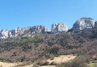
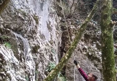
Du village on dépasse en montant une chapelle puis les restes d une carrière étonnante avec un étang vert, on ne pénètre pas. Ensuite en montant vers les ruines d un vieux château on découvre la vaste plaine de Romans Valence.
Walking
Walking
Walking

Walking
Walking

Walking

Walking

sport

Walking