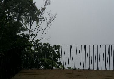
Trail Walking Salazie - GR® R1 Le Tour du piton des Neiges - De Hell-Bourg à la Caverne Dufour  - Photo

GR® R1 Le Tour du piton des Neiges - De Hell-Bourg à la Caverne Dufour

 tracegps
tracegps

User

© OpenStreetMap contributors
Length
Length
12.1 km
Max alt
Max alt
2485 m
Uphill gradient
Uphill gradient
1575 m
Km-Effort
Km-Effort  
28 km
Min alt
Min alt
945 m
Downhill gradient
Downhill gradient
39 m
Boucle
Boucle
No
Creation date :
2016-03-09 00:00:00.0
Updated on :
2016-03-09 00:00:00.0

(0 Reviews)

Walking
Walking
6h30
Difficulty : Difficult

Scan this QR Code to open this trail in the SityTrail application

FREE GPS app for hiking

Logo SityTrail SityTrail

IGN / Geographical institutes

Download SityTrail from the App Store Download SityTrail from Google Play

Logo SityTrail SityTrail World

The world is yours!

Download SityTrail from the App Store Download SityTrail from Google Play Download SityTrail on Huawei AppGallery

About

Trail Walking of 12.1 km to be discovered at Réunion, Unknown, Salazie. This trail is proposed by tracegps.

Description

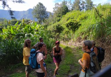
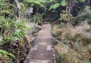
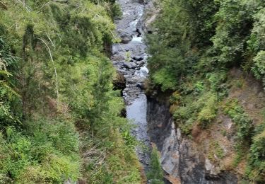
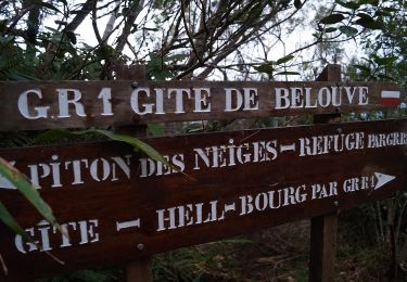
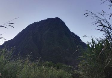
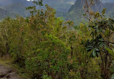
GR® R1 Le Tour du piton des Neiges Inauguré en 1979, le sentier de Grande Randonnée de la Réunion n°1 (GR R1), long d'une soixantaine de kilomètres, ceinture le Piton des Neiges et offre la possibilité de découvrir les trois cirques de l'île : Salazie, Cilaos et Mafate. Il permet d'accéder au plus haut sommet de l'île, le Piton des Neiges (3071 mètres). C'est donc un parcours dans le coeur de l'île. Le sentier sur un terrain accidenté est fait essentiellement de montées et descentes, parfois rudes. Il offre une palette de paysages grandioses : Col du Taïbit, Trois Roches, Plaine des Tamarins, Grand Sable, Bélouve, Cap Anglais, Piton des Neiges, Matarum… Le sentier GR® R1 est découpé en 6 étapes. Chacun est libre d’organiser son circuit en fonction du temps dont il dispose, de sa forme physique et de ses intérêts. Etape 1- De Hell-Bourg à la Caverne Dufour Attention après le gîte de Bélouve, il n’existe aucun point d’eau. Vous trouverez le descriptif détaillé de cette randonnée dans le Topo-guide® de la Fédération Française de la Randonnée Pédestre. Pour toute information complémentaire sur la randonnée : Comité départemental de la Réunion: 8 RUE DE LA CASERNE 9002 HLM CHIRICO PETITE ILE 97400 SAINT DENIS Tél. : 0262943706

Elevation profile

Photos

Positioning

Country:
France
Region :
Réunion
Department/Province :
Unknown
Municipality :
Salazie
Location:
Unknown
Start:(UTM)
346364 ; 7669961 (40K) S.

Trails nearby

Trail Walking Salazie - mare à poules d'eau - Photo
Walking
Thierry Boisselier

Walking

Very easy
(1)
Salazie, Réunion, Unknown, France
2.5 km | 3.2 km-effort
1h 23min
Yes
Trail Walking Salazie - Trou de Fer par le refuge de Belouve. - Photo
Walking
Indi34

Walking

Medium
Salazie, Réunion, Unknown, France
10 km | 13.5 km-effort
4h 27min
Yes
Trail Walking Salazie - tour du piton maillot - rivière du mat - Photo
Walking
prv

Walking

Medium
Salazie, Réunion, Unknown, France
12.5 km | 21 km-effort
5h 42min
Yes
Trail On foot Salazie - Sentier du Trou de Fer - Photo
On foot
GUIDE+

On foot

Easy
Salazie, Réunion, Unknown, France
4 km | 5.1 km-effort
1h 10min
No
Trail Walking Salazie - Piton d'Anchain - Photo
Walking
sylviedaniel

Walking

Difficult
Salazie, Réunion, Unknown, France
9.1 km | 19.3 km-effort
2h 48min
Yes
Trail Walking Salazie - hellbourg trou de fer aller retour - Photo
Walking
RoMo

Walking

Difficult
Salazie, Réunion, Unknown, France
22 km | 37 km-effort
7h 14min
No
Trail Walking Saint-Benoît - Trou de fer 05/10/19 - Photo
Walking
YCDBSOYA

Walking

Medium
Saint-Benoît, Réunion, Unknown, France
11 km | 14.2 km-effort
4h 40min
Yes
Trail Walking Salazie - Trpu de fer belouve depuis hellbourg - Photo
Walking
simonm0204

Walking

(1)
Salazie, Réunion, Unknown, France
17.4 km | 29 km-effort
7h 26min
Yes
Trail Walking Saint-Benoît - trou de fer - Photo
Walking
turpin

Walking

Medium
(1)
Saint-Benoît, Réunion, Unknown, France
13.6 km | 16.9 km-effort
2h 38min
Yes


Close
My subscriptions