


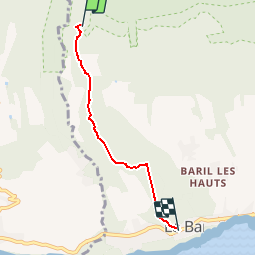

3.3 km | 4.4 km-effort

User


FREE GPS app for hiking
 SityTrail
IGN / Geographical institutes
SityTrail World
The world is yours!
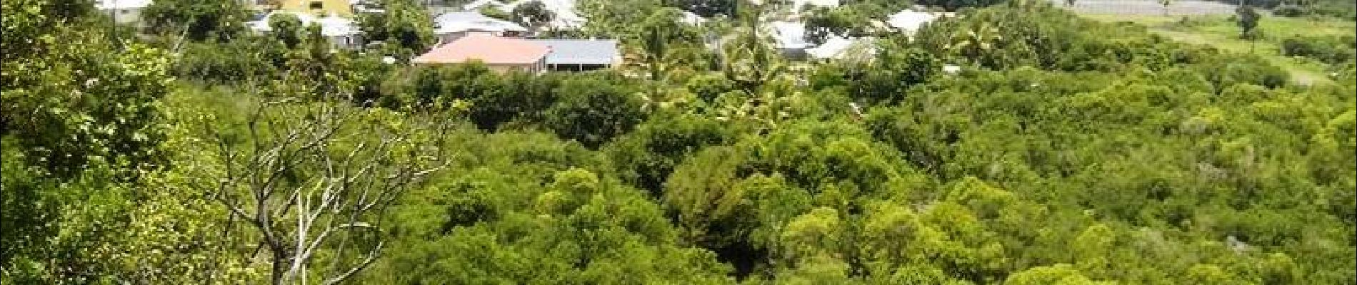
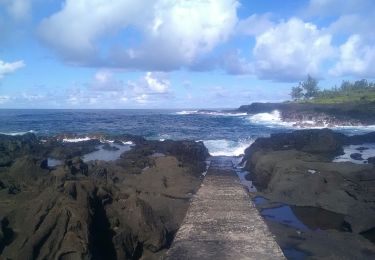
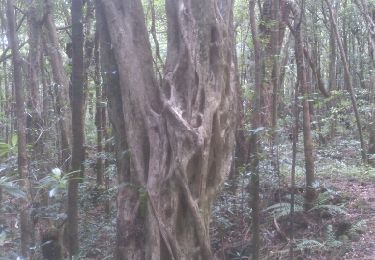
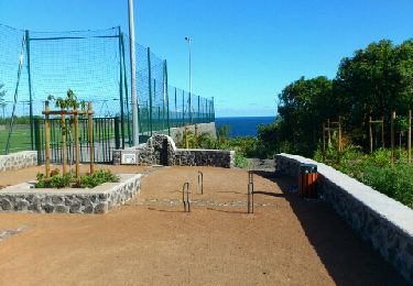
Trail Walking of 5 km to be discovered at Réunion, Unknown, Saint-Philippe. This trail is proposed by tracegps.
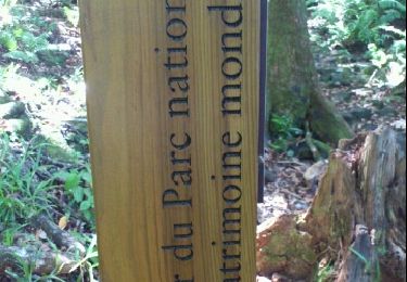
GR® R2 Du gîte de Basse Vallée à Basse Vallée. Dernière étape Vous trouverez le descriptif détaillé de cette randonnée dans le Topo-guide® de la Fédération Française de la Randonnée Pédestre.

Walking
Walking
Walking
Walking
Walking

Walking
Walking
Walking


sport