


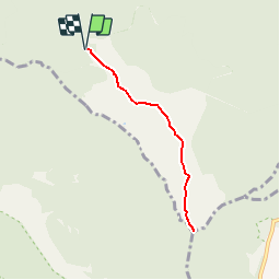

4.9 km | 7.8 km-effort

User


FREE GPS app for hiking
 SityTrail
IGN / Geographical institutes
SityTrail World
The world is yours!
Trail Walking of 7.9 km to be discovered at Réunion, Unknown, Saint-Denis. This trail is proposed by tracegps.
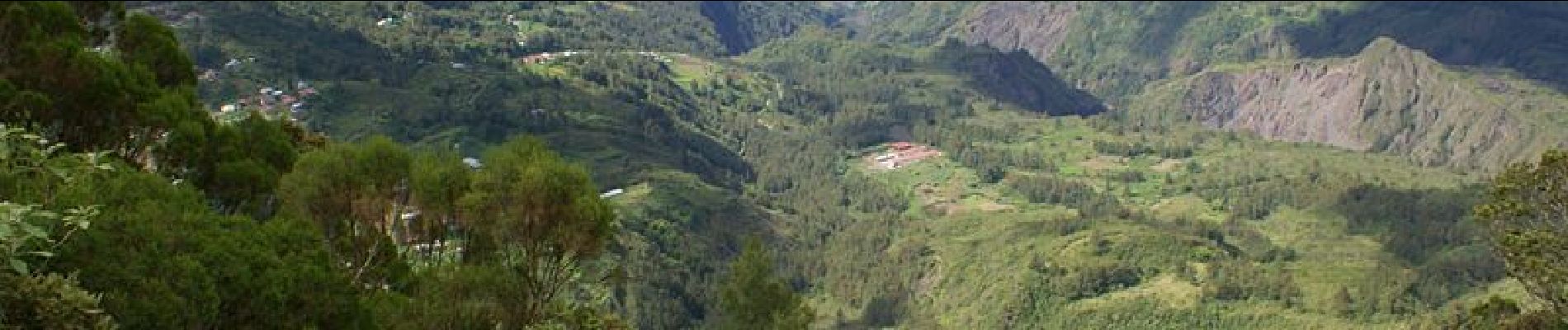
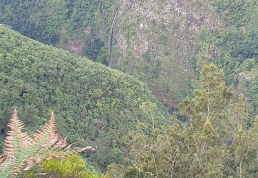
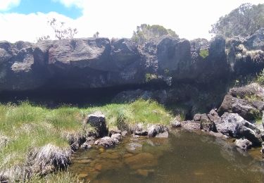
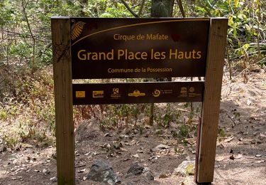
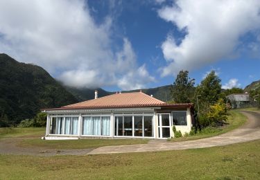
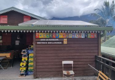
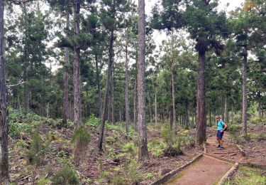
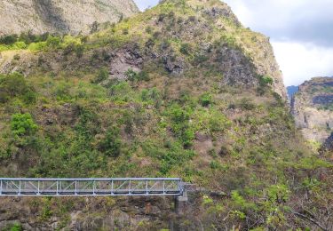
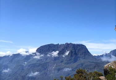
GR® R2 Du gîte au sommet de la Roche Ecrite. Aller retour vers le sommet de la Roche Ecrite, vue plongeante sur le cirque de Salazie et une partie de Mafate. Vous trouverez le descriptif détaillé de cette randonnée dans le Topo-guide® de la Fédération Française de la Randonnée Pédestre.


Walking
Walking

sport
sport
Walking
Walking
Walking
Walking
Walking