


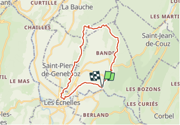

11.1 km | 17.4 km-effort


User


FREE GPS app for hiking
 SityTrail
IGN / Geographical institutes
SityTrail World
The world is yours!
Trail Walking of 13.6 km to be discovered at Auvergne-Rhône-Alpes, Savoy, Saint-Christophe. This trail is proposed by Clembout.
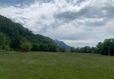
Attentions aux passages câblés et un peu vertigineux en début et milieu qui peuvent rebuter les moins aguerris.

Snowshoes

Road bike

Walking

Walking
Walking

Touring skiing

Walking

sport
Trail