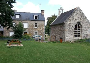
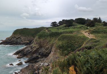
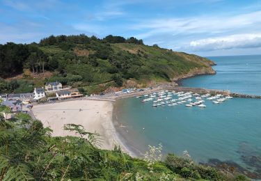
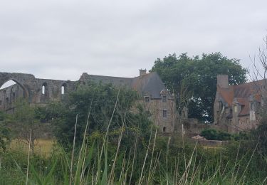
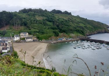
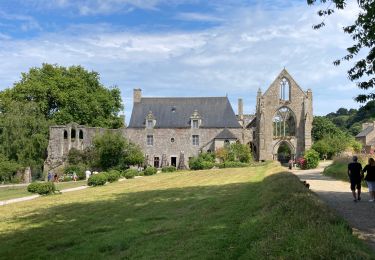
Trail Walking Plouha - GR 34® de Lanloup à Paimpol - Photo

GR 34® de Lanloup à Paimpol

 tracegps
tracegps

User

© OpenStreetMap contributors
Length
Length
22 km
Max alt
Max alt
76 m
Uphill gradient
Uphill gradient
410 m
Km-Effort
Km-Effort  
28 km
Min alt
Min alt
0 m
Downhill gradient
Downhill gradient
479 m
Boucle
Boucle
No
Creation date :
2014-12-10 00:00:00.0
Updated on :
2014-12-10 00:00:00.0

(0 Reviews)

Walking
Walking
5h15
Difficulty : Difficult

Scan this QR Code to open this trail in the SityTrail application

FREE GPS app for hiking

Logo SityTrail SityTrail

IGN / Geographical institutes

Download SityTrail from the App Store Download SityTrail from Google Play

Logo SityTrail SityTrail World

The world is yours!

Download SityTrail from the App Store Download SityTrail from Google Play Download SityTrail on Huawei AppGallery

About

Trail Walking of 22 km to be discovered at Brittany, Côtes-d'Armor, Plouha. This trail is proposed by tracegps.

Description

GR34® Côte de Granit Rose GR 34® de Lanloup à Paimpol Vous trouverez le descriptif détaillé de cette randonnée dans le Topo-guide® de la Fédération Française de la Randonnée Pédestre. Le découpage proposé ici est donné à titre indicatif pour équilibrer la distance de chaque tronçon. Chacun peut l’adapter à son niveau.

Elevation profile

Photos

Positioning

Country:
France
Region :
Brittany
Department/Province :
Côtes-d'Armor
Municipality :
Plouha
Location:
Unknown
Start:(UTM)
503513 ; 5396158 (30U) N.

Trails nearby

Trail Walking Lanloup - Pointe de la Tour - Lanloup - Photo
Walking
tracegps

Walking

Medium
(1)
Lanloup, Brittany, Côtes-d'Armor, France
11.2 km | 15.4 km-effort
3h 0min
Yes
Trail Walking Plouha - circuit danse macabre Kermaria - Photo
Walking
Randosdeguy

Walking

Very easy
(1)
Plouha, Brittany, Côtes-d'Armor, France
11.9 km | 13 km-effort
2h 44min
Yes
Trail Walking Plouha - Plouha Plage Bonaparte - GR34 Chapelle Saint-Marc - 22.9km 465m 5h20 (35mn) - 2024 07 02 - Photo
Walking
GUIDE
Orcal37

Walking

Difficult
Plouha, Brittany, Côtes-d'Armor, France
23 km | 29 km-effort
5h 20min
Yes
Trail Walking Plouézec - Plouézec Port Lazo - GR34 Plage Bonaparte - 25km 560m 6h05 (50mn) - 2024 07 01 - Photo
Walking
GUIDE
Orcal37

Walking

Difficult
Plouézec, Brittany, Côtes-d'Armor, France
25 km | 33 km-effort
6h 5min
Yes
Trail Walking Plouézec - GR_34_CH_21_Plouezec_Paimpol_20240802 - Photo
Walking
patrickdanilo

Walking

Easy
Plouézec, Brittany, Côtes-d'Armor, France
11.5 km | 13.9 km-effort
2h 53min
No
Trail Walking Plouha - GR_34_CG_20_Plouha_Plouezec_20240528 - Photo
Walking
patrickdanilo

Walking

Medium
Plouha, Brittany, Côtes-d'Armor, France
12.2 km | 16.5 km-effort
3h 26min
No
Trail Walking Plouha - Falaises de Plouha 9.7.23 - Photo
Walking
GUIDE
fredetpascale

Walking

Easy
Plouha, Brittany, Côtes-d'Armor, France
14.8 km | 20 km-effort
2h 50min
No
Trail Walking Lanloup - GR34 Brehec-Kerity - Photo
Walking
ash

Walking

Medium
Lanloup, Brittany, Côtes-d'Armor, France
19.2 km | 25 km-effort
5h 30min
No
Trail Walking Plouha - plouha plage Bonaparte 5km - Photo
Walking
Vasseur Jean Marc

Walking

Very difficult
Plouha, Brittany, Côtes-d'Armor, France
24 km | 28 km-effort
3h 6min
No


Close
My subscriptions