39 km | 51 km-effort
ortholes mn a
bouscaillou
User
Length
8.3 km
Max alt
644 m
Uphill gradient
132 m
Km-Effort
10.1 km
Min alt
561 m
Downhill gradient
130 m
Boucle
Yes
Creation date :
2022-03-14 08:38:39.347
Updated on :
2022-03-14 10:25:59.328
1h47
Difficulty : Very easy
FREE GPS app for hiking
About
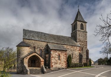
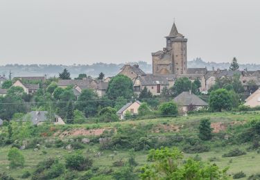
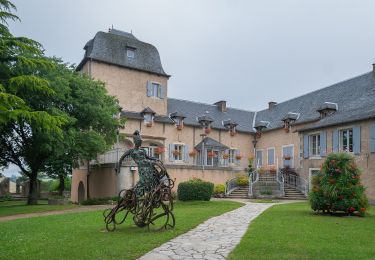
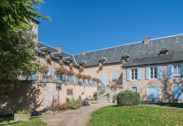
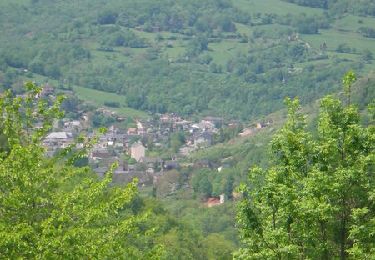
Trail Nordic walking of 8.3 km to be discovered at Occitania, Aveyron, La Loubière. This trail is proposed by bouscaillou.
Positioning
Country:
France
Region :
Occitania
Department/Province :
Aveyron
Municipality :
La Loubière
Location:
Unknown
Start:(Dec)
Start:(UTM)
471276 ; 4914994 (31T) N.
Comments
Trails nearby
Randonnée VTT boucle d'Onet le Château à Macillac
Mountain bike
Difficult
(1)
Onet-le-Château,
Occitania,
Aveyron,
France
5h 40min
Yes
Randonnée de Rodez Agglomération Circuit n°2 - Layoule
On foot
Easy
Rodez,
Occitania,
Aveyron,
France
5.6 km | 6.6 km-effort
1h 29min
Yes
Circuit 16 Moulin de cantarane
On foot
Easy
Onet-le-Château,
Occitania,
Aveyron,
France
6.3 km | 8 km-effort
1h 48min
Yes
Circuit 14 Sainte-Radegonde
On foot
Easy
Sainte-Radegonde,
Occitania,
Aveyron,
France
12.2 km | 16.2 km-effort
3h 40min
Yes
Circuit 18 Nord de Sébazac
On foot
Easy
Sébazac-Concourès,
Occitania,
Aveyron,
France
3.2 km | 3.7 km-effort
50min
No
lo camin polida vista
Walking
Easy
(1)
Sébazac-Concourès,
Occitania,
Aveyron,
France
8.5 km | 9.6 km-effort
3h 0min
Yes
Lo Cami de la Font
On foot
Easy
Sébazac-Concourès,
Occitania,
Aveyron,
France
5.9 km | 6.6 km-effort
1h 29min
No
promenade des berges de l'Aveyron
Walking
Very easy
Rodez,
Occitania,
Aveyron,
France
7.1 km | 8.2 km-effort
2h 0min
Yes
promenade des berges de l'Aveyron
Walking
Very easy
(1)
Rodez,
Occitania,
Aveyron,
France
7.1 km | 8.2 km-effort
2h 0min
Yes