


 - Photo 21")
 - Photo 22")
 - Photo 23")
 - Photo 24")
 - Photo 25")
 - Photo 26")
 - Photo 27")
 - Photo 28")
 - Photo 29")
 - Photo 30")
 - Photo 31")
 - Photo 32")
 - Photo 33")
 - Photo 34")
 - Photo 35")
 - Photo 36")
 - Photo 37")
 - Photo 38")
 - Photo 39")
 - Photo 40")
 - Photo 41")

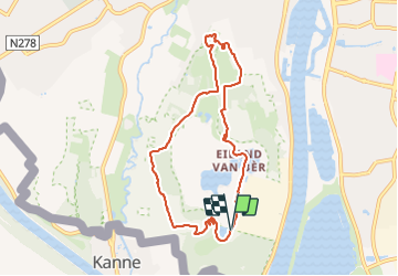
16.4 km | 19.4 km-effort


FREE GPS app for hiking
 SityTrail
IGN / Geographical institutes
SityTrail World
The world is yours!
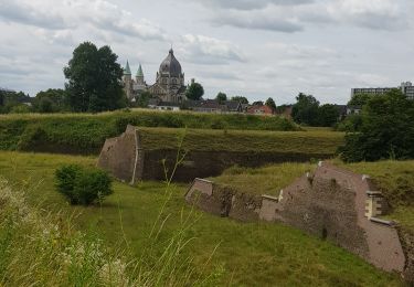
Trail Walking of 7.3 km to be discovered at Limburg, Unknown, Maastricht. This trail is proposed by Godasses et Grosses Pattes.
tracé balisé carré jaune, autour de la carrière et zone naturelle ou ce mélange des bois et des prés et escalier pour monter la falaise attention de septembre a mars ouverture d'une barrière de 9h a 17h et de avril à août de 8h à 20h
démarrer dans le sens contraire des aiguilles d'une montre si vous êtes trop juste au timing
quelques poubelle sur le chemin pour vider les poches table de pique-nique sur le tracé et trois possibilités de taverne.
balade agréable même avec des enfants attention a ceux qui on le vertige pour monter ou descendre les escaliers et Parc a chien ou on peut les lâché.
 - Photo 1")
 - Photo 2")
 - Photo 3")
 - Photo 4")
 - Photo 5")
 - Photo 6")
 - Photo 7")
 - Photo 8")
 - Photo 9")
 - Photo 10")
 - Photo 11")
 - Photo 12")
 - Photo 13")
 - Photo 14")
 - Photo 15")
 - Photo 16")
 - Photo 17")
 - Photo 18")
 - Photo 19")
 - Photo 20")
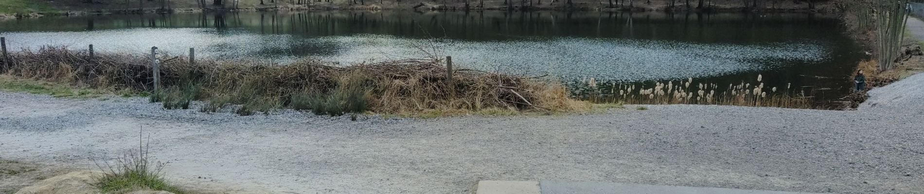
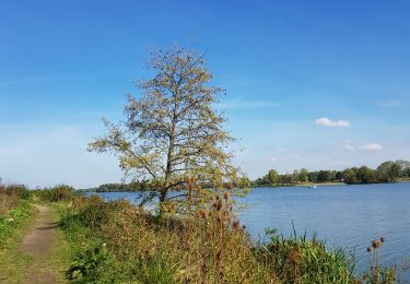
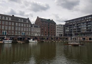
41 photos in total. Please click on a photo to see them all in the gallery.

Walking

Walking

Walking

Walking

Walking
Walking
Walking
Walking
Walking