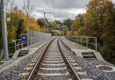
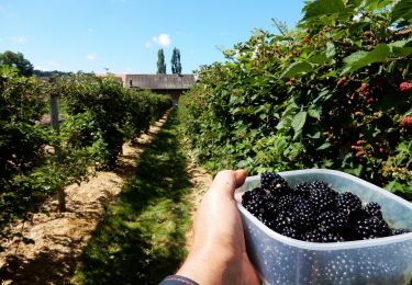
4.8 km | 6.5 km-effort
wa37
My Switzerland
Optez pour le retour à la nature GUIDE+
Length
11.7 km
Max alt
843 m
Uphill gradient
490 m
Km-Effort
18.3 km
Min alt
591 m
Downhill gradient
489 m
Boucle
Yes
Creation date :
2014-12-10 00:00:00.0
Updated on :
2014-12-10 00:00:00.0
5h22
Difficulty : Unknown
FREE GPS app for hiking
About
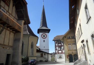
Trail Walking of 11.7 km to be discovered at Bern, Bern-Mittelland administrative district, Schwarzenburg. This trail is proposed by My Switzerland.
Positioning
Country:
Switzerland
Region :
Bern
Department/Province :
Bern-Mittelland administrative district
Municipality :
Schwarzenburg
Location:
Unknown
Start:(Dec)
Start:(UTM)
375183 ; 5191216 (32T) N.
Comments
Trails nearby
Mengestorf – Köniz
On foot
Easy
Köniz,
Bern,
Bern-Mittelland administrative district,
Switzerland
1h 29min
No
Flamatt Sport - Wünnewil
On foot
Easy
Wünnewil-Flamatt,
Fribourg,
Sensebezirk,
Switzerland
4.7 km | 6.5 km-effort
1h 29min
No
Flamatt / Station - Ueberstorf
On foot
Easy
Wünnewil-Flamatt,
Fribourg,
Sensebezirk,
Switzerland
3.6 km | 5.3 km-effort
1h 12min
No
Liebewil - Moos
On foot
Easy
Köniz,
Bern,
Bern-Mittelland administrative district,
Switzerland
3.5 km | 4.7 km-effort
1h 4min
No
Leimen - Lisiberg
On foot
Easy
Köniz,
Bern,
Bern-Mittelland administrative district,
Switzerland
3.3 km | 6.6 km-effort
1h 30min
No
st_Jakobsweg_test
Walking
Very easy
Schwarzenburg,
Bern,
Bern-Mittelland administrative district,
Switzerland
12.8 km | 16.2 km-effort
3h 40min
No
Schwarzenburg à Mittelhäusern
Other activity
Very easy
Schwarzenburg,
Bern,
Bern-Mittelland administrative district,
Switzerland
10.6 km | 15.7 km-effort
Unknown
No
Schwarzwasserbrücke - Belp (2)
Other activity
Very easy
Schwarzenburg,
Bern,
Bern-Mittelland administrative district,
Switzerland
16.2 km | 25 km-effort
Unknown
No
Schwarzwasserbrücke - Belp
Other activity
Very easy
Schwarzenburg,
Bern,
Bern-Mittelland administrative district,
Switzerland
18.3 km | 27 km-effort
Unknown
No