


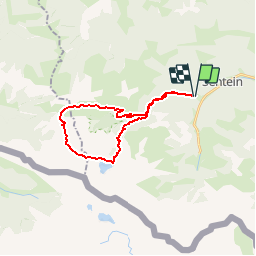

32 km | 63 km-effort


User


FREE GPS app for hiking
 SityTrail
IGN / Geographical institutes
SityTrail World
The world is yours!
Trail Walking of 24 km to be discovered at Occitania, Ariège, Sentein. This trail is proposed by Polo-31.
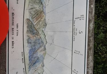
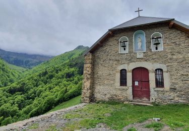
Depuis le parking de Frechendech suivre le sentier jusqu'à l'étang d'Araing (Refuge Jacques Husson). Retour par le Col d'Auréan, Col d'Auarde. Pour rejoindre le Col d'Auarde, ne pas oublier de quitter le GR10 vers la droite à la hauteur de l'altisurface (aucun repère) pour rejoindre un petit plateau 40m au dessus afin de contourner le Pic de Pièlé de Mil sans perdre trop de dénivelé. Après le col descendre vers la cabane des Pugues en restant à droite de la vallée. Ensuite la descente est très facile, elle passe par la Chapelle de l'Isard.

Walking
Walking
Walking
Walking
Walking
Walking
Walking
Walking

Walking
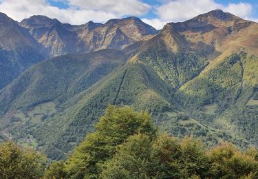
superbe parcours