


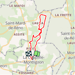

10.6 km | 13.5 km-effort


User


FREE GPS app for hiking
 SityTrail
IGN / Geographical institutes
SityTrail World
The world is yours!
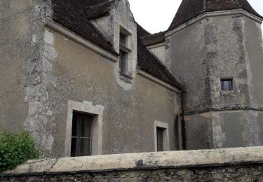
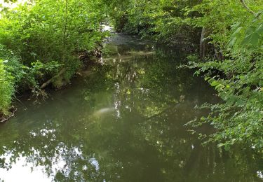
Trail Walking of 10.5 km to be discovered at Normandy, Orne, La Chapelle-Montligeon. This trail is proposed by ODDAD78.
Un très beau parcours qui au départ de la Chapelle Montligeon, remonte plein nord, la vallée de la Vilette pour revenir plein sud dans le massif forestier de Réno Valdieu par le chemin de l'ancien tramway Mortagne-au-Perche -> La Loupe

Walking

On foot
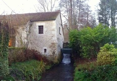
![Trail Walking La Chapelle-Montligeon - [Itinéraire] Le Mont Ligeon - Photo](https://media.geolcdn.com/t/375/260/ce92da88-fb92-411f-965d-5e4e270d0f79.jpeg&format=jpg&maxdim=2)
Walking
Walking
Walking
Walking
Walking
Walking
Walking