


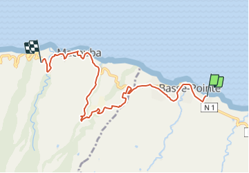

10.3 km | 14.4 km-effort


User GUIDE


FREE GPS app for hiking
 SityTrail
IGN / Geographical institutes
SityTrail World
The world is yours!
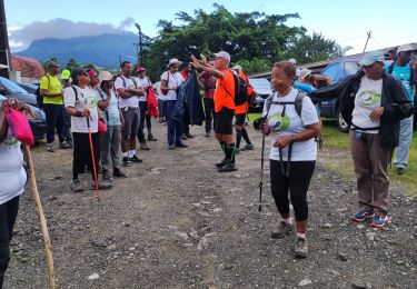
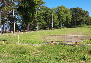
Trail Walking of 10.1 km to be discovered at Martinique, Unknown, Basse-Pointe. This trail is proposed by Lamartiniere.
Projet N°2
Jonction du Sentier Littoral Nord Atlantique (GR SLNA) avec celui de Désiles, Macouba, soit 10 kms pour un dénivelé positif de 267 m. Départ terrain de pétanque du secteur Tapis-Vert, Basse-Pointe vers l'entrée du circuit de randonnée de Désiles, secteur Chéneaux, Macouba. Traversée des Communes Basse-Pointe et Macouba.
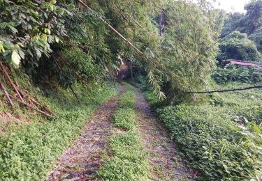
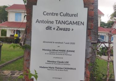
Après le pont de la rivière de Basse-Pointe, prendre à gauche et remonter en direction du Centre Culturel Tangamen. Poursuivre par la trace vers le Centre commercial Hackaert et reprendre la N1 vers Macouba.
Après la rivière Bijou, prendre à gauche sur Habitation Bijou ou Case Marraud, dans la trace, pour ressortir près la chapelle. Prendre le chemin de rivière Roche en direction de la Rhumerie de Fonds Préville.
Au sortir de la distillerie JM, direction Habitation Bellevue. Allée Coco, prendre à droite et suivre la trace en descente le long de la rivière Dupotiche, jusqu'à la D10, puis direction de l’Eglise.
Prendre à gauche vers Terre Patate en direction de la Pierre à Bon Dieu et continuer sur le secteur Cinquante Pas puis reprendre la rue des 50 pas (D10). Aller vers l’Eglise de Macouba datant du XVI siècle et poursuivre jusqu’au départ du circuit de Désiles, indiqué par panneau ONF.
Fernand Lamartiniere
Walking
Walking

Walking
Walking
Walking
Walking
Walking
Walking
Walking