


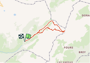

13.2 km | 28 km-effort

User GUIDE


FREE GPS app for hiking
 SityTrail
IGN / Geographical institutes
SityTrail World
The world is yours!
Trail Touring skiing of 14.2 km to be discovered at Auvergne-Rhône-Alpes, Upper Savoy, Le Grand-Bornand. This trail is proposed by nadd73.
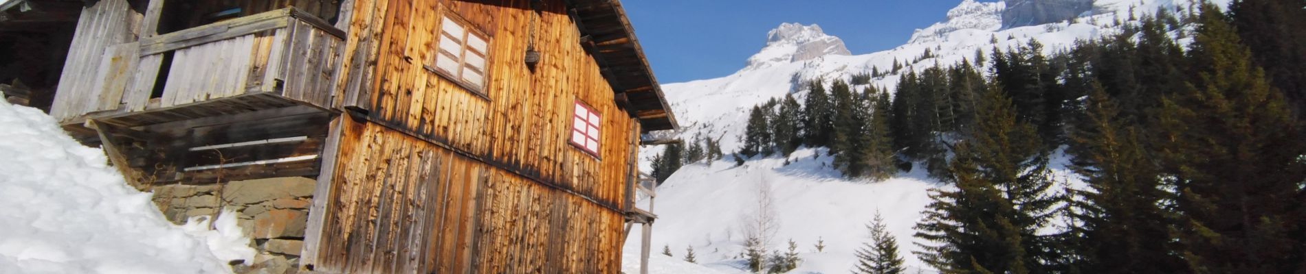
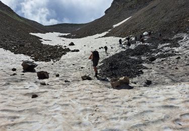
Départ de Lormay car interdiction de se garer au Tronc. La montée jusqu'à rattraper le GR était gelée et trafollée, j'ai mis les crampons. Ceux qui étaient en couteaux n'étaient pas très sereins d'ailleurs un splitboardeur a glissé sur 100 m.
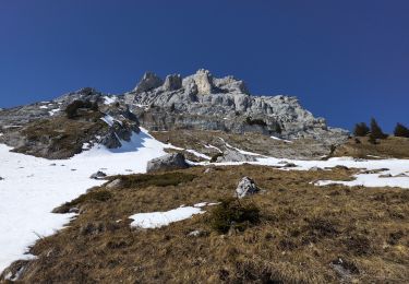
Pour la descente j'ai privilégié les pentes qui avaient pris le soleil. sous le col d'Oulettaz c'était super !
Mais la descente dans le sentier pédestre n'a rien à envier car pas assez de neige.


Walking
Walking
Touring skiing
Walking
On foot

Walking

Snowshoes

Walking
Walking