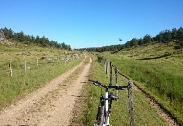
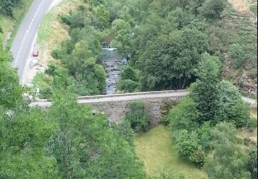
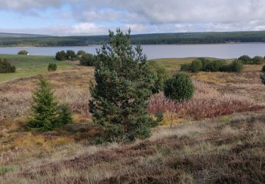
Trail Moto cross Allenc - rando causse charpal rieudort - Photo

rando causse charpal rieudort

© OpenStreetMap contributors
Length
Length
106 km
Max alt
Max alt
1399 m
Uphill gradient
Uphill gradient
3038 m
Km-Effort
Km-Effort  
148 km
Min alt
Min alt
524 m
Downhill gradient
Downhill gradient
3517 m
Boucle
Boucle
No
Creation date :
2022-03-07 13:27:31.144
Updated on :
2022-03-07 17:50:33.618

(0 Reviews)

Moto cross
Moto cross
3h28
Difficulty : Very easy

Scan this QR Code to open this trail in the SityTrail application

FREE GPS app for hiking

Logo SityTrail SityTrail

IGN / Geographical institutes

Download SityTrail from the App Store Download SityTrail from Google Play

Logo SityTrail SityTrail World

The world is yours!

Download SityTrail from the App Store Download SityTrail from Google Play Download SityTrail on Huawei AppGallery

About

Trail Moto cross of 106 km to be discovered at Occitania, Lozère, Allenc. This trail is proposed by Jérôme Pignol.

Elevation profile

Positioning

Country:
France
Region :
Occitania
Department/Province :
Lozère
Municipality :
Allenc
Location:
Unknown
Start:(UTM)
552979 ; 4935458 (31T) N.

Trails nearby

Trail Mountain bike Laubert - Truc de Fortunio - Photo
Mountain bike
raphnou

Mountain bike

Medium
Laubert, Occitania, Lozère, France
43 km | 55 km-effort
3h 33min
Yes
Trail Walking Allenc - château de la tournelle - Photo
Walking
olivier78000

Walking

Medium
Allenc, Occitania, Lozère, France
12.3 km | 17.9 km-effort
3h 42min
No
Trail Horseback riding Laubert - 2022-09-24 Rando CVA Lozere Laubert vers Chateauneuf de Randon - Photo
Horseback riding
GUIDE
holtzv

Horseback riding

Medium
Laubert, Occitania, Lozère, France
27 km | 33 km-effort
4h 48min
No
Trail Electric bike Allenc - Larzalier  mas de la barque - Photo
Electric bike
lecamisard

Electric bike

Easy
Allenc, Occitania, Lozère, France
53 km | 73 km-effort
6min
No
Trail Horseback riding Allenc - Boucle Allenc de Gérard Baras - Photo
Horseback riding
Lozère Cheval

Horseback riding

Difficult
Allenc, Occitania, Lozère, France
34 km | 42 km-effort
5h 18min
Yes
Trail Horseback riding Laubert - Circuit Etoile du Lac BoucleCharpalDepuisLaubert - Photo
Horseback riding
Lozère Cheval

Horseback riding

Very easy
Laubert, Occitania, Lozère, France
23 km | 28 km-effort
Unknown
Yes
Trail Horseback riding Laubert - Circuit EmaMargeride - Photo
Horseback riding
Lozère Cheval

Horseback riding

Very difficult
Laubert, Occitania, Lozère, France
215 km | 283 km-effort
34h 56min
No
Trail Camping car Laubert - larzalier - Photo
Camping car
dijojuguy

Camping car

Very easy
Laubert, Occitania, Lozère, France
9.5 km | 11.1 km-effort
12min
No
Trail Walking Laubert - Laubert  - Photo
Walking
tyntyn

Walking

Easy
(1)
Laubert, Occitania, Lozère, France
13.1 km | 17.2 km-effort
2h 46min
Yes


Close
My subscriptions