


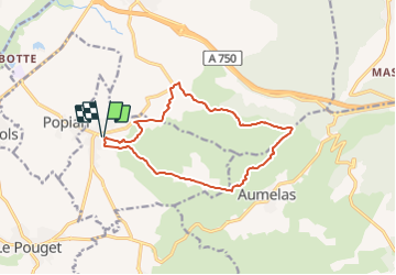


9.6 km | 11.4 km-effort


User


FREE GPS app for hiking
 SityTrail
IGN / Geographical institutes
SityTrail World
The world is yours!
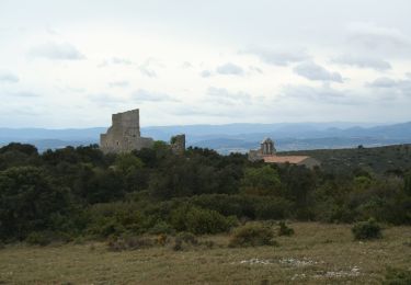
Trail On foot of 13.5 km to be discovered at Occitania, Hérault, Saint-Bauzille-de-la-Sylve. This trail is proposed by Thierry Lucile.
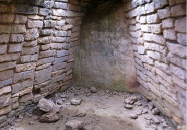
Dénivelé cumulé modéré. Télégraphe Chappe bien restauré. Quelques jolis Mas.
Walking
Walking

Walking
Walking
On foot
Walking

Walking

Walking
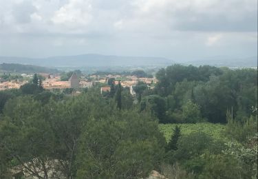
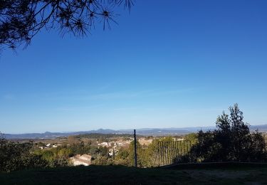
rando très agréable avec des points de vues dégagés.