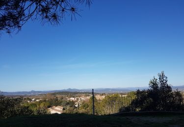
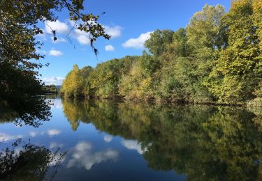
Trail On foot Saint-Bauzille-de-la-Sylve - St- Bauzille-de-la-Sylve (Le Télégraphe - Le Mont Nègre) - Photo

St- Bauzille-de-la-Sylve (Le Télégraphe - Le Mont Nègre)

© OpenStreetMap contributors
Length
Length
13.5 km
Max alt
Max alt
265 m
Uphill gradient
Uphill gradient
304 m
Km-Effort
Km-Effort  
17.5 km
Min alt
Min alt
86 m
Downhill gradient
Downhill gradient
304 m
Boucle
Boucle
Yes
Creation date :
2022-03-07 09:59:15.399
Updated on :
2022-03-07 10:57:09.336

(1 Reviews)

On foot
On foot
3h58
Difficulty : Easy

Scan this QR Code to open this trail in the SityTrail application

FREE GPS app for hiking

Logo SityTrail SityTrail

IGN / Geographical institutes

Download SityTrail from the App Store Download SityTrail from Google Play

Logo SityTrail SityTrail World

The world is yours!

Download SityTrail from the App Store Download SityTrail from Google Play Download SityTrail on Huawei AppGallery

About

Trail On foot of 13.5 km to be discovered at Occitania, Hérault, Saint-Bauzille-de-la-Sylve. This trail is proposed by Thierry Lucile.

Description

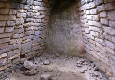
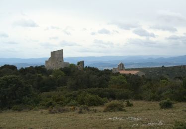
Dénivelé cumulé modéré. Télégraphe Chappe bien restauré. Quelques jolis Mas.

Elevation profile

Points of interest

Point of interest Saint-Bauzille-de-la-Sylve - Le Télégraphe - Photo
Thierry Lucile
SAINT-BAUZILLE-DE-LA-SYLVE 

Positioning

Country:
France
Region :
Occitania
Department/Province :
Hérault
Municipality :
Saint-Bauzille-de-la-Sylve
Location:
Unknown
Start:(UTM)
544195 ; 4829451 (31T) N.

Comments

Please log in to post a review or rate the element


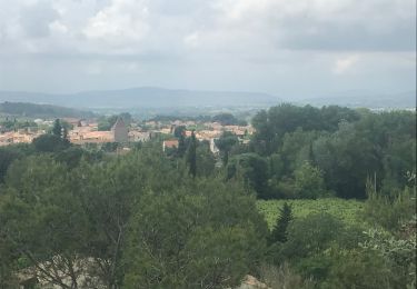
rando très agréable avec des points de vues dégagés.


Trails nearby

Trail Walking Le Pouget - Randonnée du dolmen de Pouget et plus - Photo
Walking
basiletchikladze

Walking

Easy
(10)
Le Pouget, Occitania, Hérault, France
9.6 km | 11.4 km-effort
2h 29min
No
Trail Walking Saint-Bauzille-de-la-Sylve - saint Bauzille de la sylve, le télégraphe, le prêche negre, Le pièce blanc! - Photo
Walking
daniel34

Walking

Medium
(2)
Saint-Bauzille-de-la-Sylve, Occitania, Hérault, France
15.8 km | 21 km-effort
4h 55min
Yes
Trail Walking Tressan - tressan - Photo
Walking
Levant

Walking

Difficult
(1)
Tressan, Occitania, Hérault, France
11.8 km | 14.9 km-effort
3h 23min
Yes
Trail Walking Pouzols - Dolmen du Pouget  - Photo
Walking
Raymond DAVID

Walking

Medium
Pouzols, Occitania, Hérault, France
19 km | 23 km-effort
5h 30min
Yes
Trail On foot Aumelas - Château d'Aumelas - Photo
On foot
GUIDE+

On foot

Easy
Aumelas, Occitania, Hérault, France
11.1 km | 14.4 km-effort
3h 17min
Yes
Trail Walking Saint-Bauzille-de-la-Sylve - Télégraphe de Saint Bauzille de la Sylve - Photo
Walking
mdauzat

Walking

Very easy
Saint-Bauzille-de-la-Sylve, Occitania, Hérault, France
4.5 km | 6.3 km-effort
1h 0min
Yes
Trail Walking Pouzols - Les Rouviels  - Photo
Walking
Patipatou

Walking

Easy
Pouzols, Occitania, Hérault, France
4.3 km | 5 km-effort
1h 12min
Yes
Trail Walking Saint-Bauzille-de-la-Sylve - saint Bauzille de la sylve, le télégraphe, le prêche negre, Le pièce blanc! - Photo
Walking
daniel34

Walking

Medium
Saint-Bauzille-de-la-Sylve, Occitania, Hérault, France
15.8 km | 21 km-effort
4h 55min
Yes
Trail Walking Popian - Popian, entre fontaines et lavoirs - Photo
Walking
daniel34

Walking

Easy
(1)
Popian, Occitania, Hérault, France
12.9 km | 15.6 km-effort
3h 51min
Yes


Close
My subscriptions