


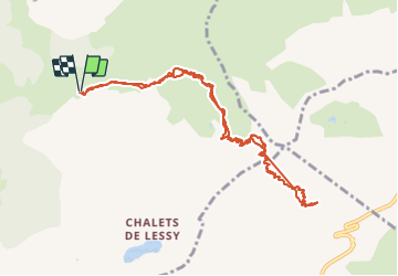

9.7 km | 15.3 km-effort

User GUIDE


FREE GPS app for hiking
 SityTrail
IGN / Geographical institutes
SityTrail World
The world is yours!
Trail Touring skiing of 11.1 km to be discovered at Auvergne-Rhône-Alpes, Upper Savoy, Glières-Val-de-Borne. This trail is proposed by nadd73.
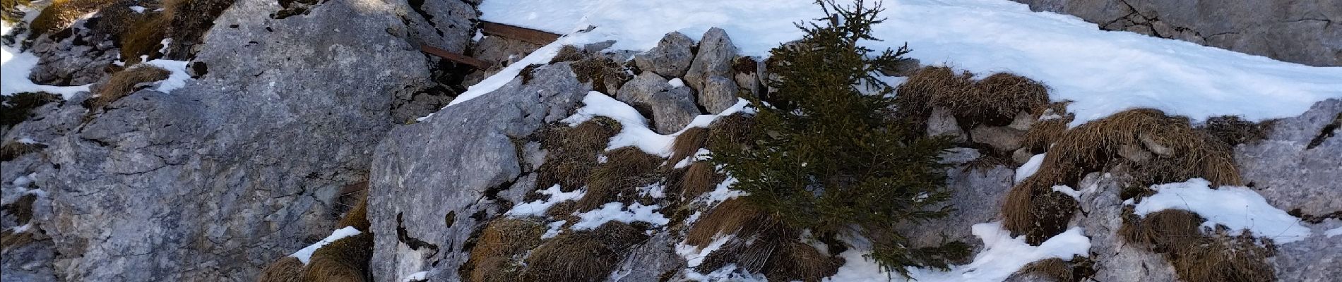
Départ de Nargéin. Le passage délicat "passage des chèvres" est passé avec les couteaux, ainsi que la montée dans le couloir.
Sinon bonne neige décaillée ou poudreuse 😊.
Pas trop de monde.


Walking

Walking

Walking

Touring skiing

Touring skiing

Walking

Walking
Walking

Walking