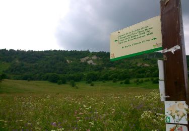
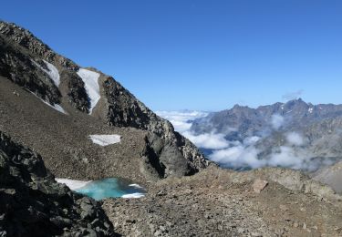
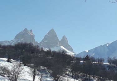
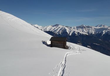
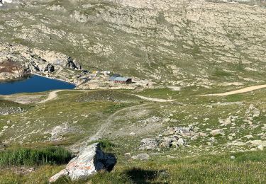
Trail  Saint-Jean-d'Arves - Itinéraire sans titre - Photo
 doclocjl
doclocjl

User

© OpenStreetMap contributors
Length
Length
5.1 km
Max alt
Max alt
1858 m
Uphill gradient
Uphill gradient
303 m
Km-Effort
Km-Effort  
9.1 km
Min alt
Min alt
1543 m
Downhill gradient
Downhill gradient
307 m
Boucle
Boucle
Yes
Creation date :
2022-03-02 12:11:21.0
Updated on :
2022-03-02 12:11:26.604

(0 Reviews)


Scan this QR Code to open this trail in the SityTrail application

FREE GPS app for hiking

Logo SityTrail SityTrail

IGN / Geographical institutes

Download SityTrail from the App Store Download SityTrail from Google Play

Logo SityTrail SityTrail World

The world is yours!

Download SityTrail from the App Store Download SityTrail from Google Play Download SityTrail on Huawei AppGallery

About

Trail of 5.1 km to be discovered at Auvergne-Rhône-Alpes, Savoy, Saint-Jean-d'Arves. This trail is proposed by doclocjl.

Elevation profile

Positioning

Country:
France
Region :
Auvergne-Rhône-Alpes
Department/Province :
Savoy
Municipality :
Saint-Jean-d'Arves
Location:
Unknown
Start:(Dec)
Start:(UTM)
285132 ; 5010388 (32T) N.

Trails nearby

Trail Walking Saint-Sorlin-d'Arves - Les Prés Plans  - Photo
Walking
Gegetop

Walking

Easy
(1)
Saint-Sorlin-d'Arves, Auvergne-Rhône-Alpes, Savoy, France
9.4 km | 13.1 km-effort
2h 52min
Yes
Trail Nordic walking Saint-Sorlin-d'Arves - La Balme - Photo
Nordic walking
Gegetop

Nordic walking

Medium
(1)
Saint-Sorlin-d'Arves, Auvergne-Rhône-Alpes, Savoy, France
6.9 km | 12.9 km-effort
3h 18min
Yes
Trail Walking Saint-Sorlin-d'Arves - dome de la cochette - Photo
Walking
Gouze13

Walking

Very difficult
(1)
Saint-Sorlin-d'Arves, Auvergne-Rhône-Alpes, Savoy, France
15.6 km | 32 km-effort
5h 0min
Yes
Trail Snowshoes Albiez-Montrond - la motte - Photo
Snowshoes
GUIDE
GEGERANDO17

Snowshoes

Very easy
(1)
Albiez-Montrond, Auvergne-Rhône-Alpes, Savoy, France
11.3 km | 20 km-effort
5h 11min
Yes
Trail Snowshoes Albiez-Montrond - le chalmieu - le relais - Photo
Snowshoes
GUIDE
GEGERANDO17

Snowshoes

Easy
Albiez-Montrond, Auvergne-Rhône-Alpes, Savoy, France
5 km | 9.6 km-effort
3h 27min
Yes
Trail Snowshoes Fontcouverte-la-Toussuire - la Toussuire  - cret Morandet -le grand Truc  - Photo
Snowshoes
GUIDE
GEGERANDO17

Snowshoes

Very easy
Fontcouverte-la-Toussuire, Auvergne-Rhône-Alpes, Savoy, France
6.4 km | 13.2 km-effort
2h 53min
Yes
Trail Mountain bike Saint-Jean-d'Arves - 15-08-2017 - Photo
Mountain bike
totoff64

Mountain bike

Medium
(1)
Saint-Jean-d'Arves, Auvergne-Rhône-Alpes, Savoy, France
11.1 km | 21 km-effort
1h 47min
No
Trail Walking Saint-Sorlin-d'Arves - Croix de fer - Les trois lacs - Photo
Walking
emstre

Walking

Very easy
(3)
Saint-Sorlin-d'Arves, Auvergne-Rhône-Alpes, Savoy, France
8.5 km | 15.6 km-effort
Unknown
Yes
Trail Walking Saint-Sorlin-d'Arves - Col Nord des lacs Lacs Bramant et Blanc Refuge Etendard trace réelle - Photo
Walking
GUIDE
jouans

Walking

Very difficult
Saint-Sorlin-d'Arves, Auvergne-Rhône-Alpes, Savoy, France
11.5 km | 19.6 km-effort
4h 26min
Yes


Close
My subscriptions