50 km | 60 km-effort
Martincourt - St Jean
jean-marie.parachini
User
Length
11.9 km
Max alt
316 m
Uphill gradient
207 m
Km-Effort
14.7 km
Min alt
218 m
Downhill gradient
208 m
Boucle
Yes
Creation date :
2022-03-01 12:30:59.129
Updated on :
2022-03-01 16:32:07.352
4h00
Difficulty : Easy
FREE GPS app for hiking
About
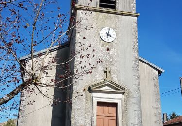
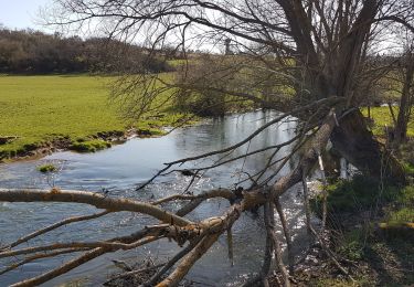
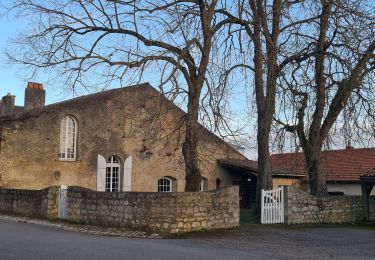
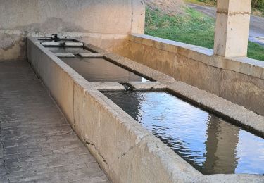
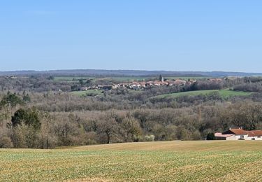
Trail Walking of 11.9 km to be discovered at Grand Est, Meurthe-et-Moselle, Martincourt. This trail is proposed by jean-marie.parachini.
Positioning
Country:
France
Region :
Grand Est
Department/Province :
Meurthe-et-Moselle
Municipality :
Martincourt
Location:
Unknown
Start:(Dec)
Start:(UTM)
715401 ; 5415374 (31U) N.
Comments
Trails nearby
AUDAX PONT A MOUSSON SI SEC
Walking
Difficult
(1)
Montauville,
Grand Est,
Meurthe-et-Moselle,
France
13h 35min
Yes
ROGEVILLE - LA PETITE SUISSE PAR MAMEY ET GEZONCOURT
Walking
Medium
Rogéville,
Grand Est,
Meurthe-et-Moselle,
France
23 km | 29 km-effort
7h 53min
Yes
GEZONCOURT - PETITE SUISSE LORRAINE
Walking
Very easy
Gézoncourt,
Grand Est,
Meurthe-et-Moselle,
France
8.5 km | 10.3 km-effort
5h 9min
Yes
Gezoncourt
Walking
Easy
Gézoncourt,
Grand Est,
Meurthe-et-Moselle,
France
8.4 km | 10.2 km-effort
4h 2min
Yes
Gézoncourt - Petite Suisse
Walking
Easy
Gézoncourt,
Grand Est,
Meurthe-et-Moselle,
France
9.7 km | 12 km-effort
3h 22min
Yes
lironville madine
Electric bike
Very easy
Lironville,
Grand Est,
Meurthe-et-Moselle,
France
55 km | 64 km-effort
3h 12min
No
Esch
Horseback riding
Easy
Gézoncourt,
Grand Est,
Meurthe-et-Moselle,
France
14.6 km | 17.9 km-effort
1h 59min
No
Circuit des Boïldots
On foot
Easy
Domèvre-en-Haye,
Grand Est,
Meurthe-et-Moselle,
France
5.7 km | 6.5 km-effort
1h 29min
No
Rogéville - La Verpillère
Walking
Difficult
Rogéville,
Grand Est,
Meurthe-et-Moselle,
France
11.4 km | 13.3 km-effort
3h 0min
Yes