


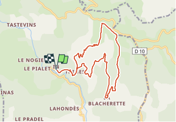


11.4 km | 14.4 km-effort

User GUIDE


FREE GPS app for hiking
 SityTrail
IGN / Geographical institutes
SityTrail World
The world is yours!
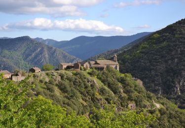
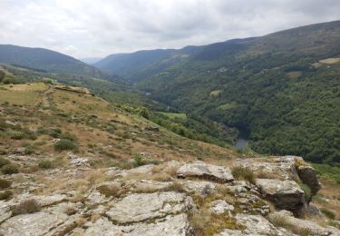
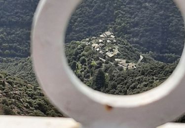
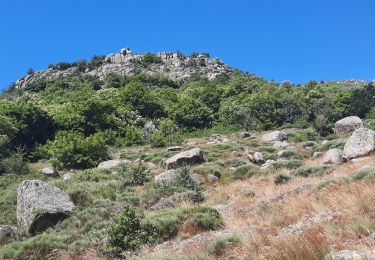
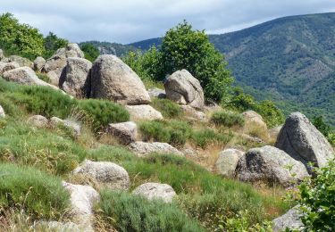
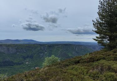
Trail Walking of 10.3 km to be discovered at Auvergne-Rhône-Alpes, Ardèche, Malarce-sur-la-Thines. This trail is proposed by thonyc.
Nota: stationner 1km avant le village ou démarrer du Pont du Gournier, car très peu de parking à l'entrée du village et traversée interdite en voiture.

Walking
Walking
Walking
Walking

Walking
Walking
Walking
Walking
Walking