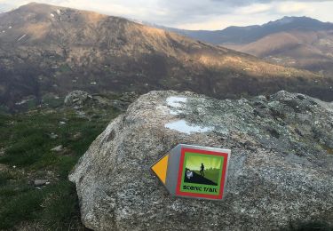
25 km | 40 km-effort
Caslano: Kastanienweg
My Switzerland
Optez pour le retour à la nature GUIDE+
Length
11.1 km
Max alt
930 m
Uphill gradient
398 m
Km-Effort
16.4 km
Min alt
688 m
Downhill gradient
410 m
Boucle
No
Creation date :
2014-12-10 00:00:00.0
Updated on :
2014-12-10 00:00:00.0
--
Difficulty : Unknown
FREE GPS app for hiking
About
Trail Walking of 11.1 km to be discovered at Ticino, Distretto di Lugano, Alto Malcantone. This trail is proposed by My Switzerland.
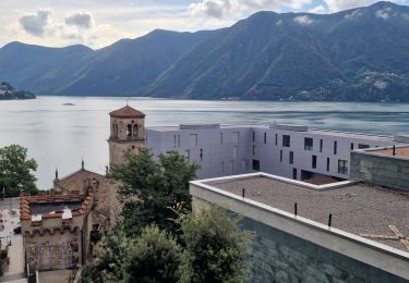
Positioning
Country:
Switzerland
Region :
Ticino
Department/Province :
Distretto di Lugano
Municipality :
Alto Malcantone
Location:
Unknown
Start:(Dec)
Start:(UTM)
492278 ; 5098689 (32T) N.
Comments
Trails nearby
Circuit decouverte Lugano
Walking
Medium
Lugano,
Ticino,
Distretto di Lugano,
Switzerland
5h 42min
Yes
Condra-Tesserete
On foot
Easy
Capriasca,
Ticino,
Distretto di Lugano,
Switzerland
3.4 km | 5.1 km-effort
1h 8min
No
Pradecolo
Mountain bike
Very easy
Miglieglia,
Ticino,
Distretto di Lugano,
Switzerland
27 km | 40 km-effort
12h 3min
Yes
Bike32933
Mountain bike
Very easy
Lugano,
Ticino,
Distretto di Lugano,
Switzerland
25 km | 38 km-effort
Unknown
Yes
Tessiner Gratwanderung: Monte Lema - Monte Tamaro
Walking
Very easy
Miglieglia,
Ticino,
Distretto di Lugano,
Switzerland
17.6 km | 38 km-effort
Unknown
No
bike_tesserete2_2008
Walking
Very easy
Capriasca,
Ticino,
Distretto di Lugano,
Switzerland
43 km | 66 km-effort
12h 42min
Yes
bike_tesserete-1_2008
Walking
Very easy
Capriasca,
Ticino,
Distretto di Lugano,
Switzerland
34 km | 47 km-effort
9h 9min
No
YHH131 Lugano - Tesserete
Walking
Difficult
Lugano,
Ticino,
Distretto di Lugano,
Switzerland
10.3 km | 15.8 km-effort
3h 52min
No
Oberes Malcantone
Other activity
Very easy
Miglieglia,
Ticino,
Distretto di Lugano,
Switzerland
18.3 km | 30 km-effort
4h 32min
Yes