


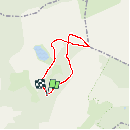


5.5 km | 8 km-effort


User


FREE GPS app for hiking
 SityTrail
IGN / Geographical institutes
SityTrail World
The world is yours!
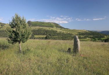
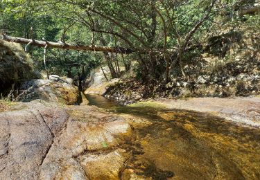
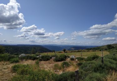
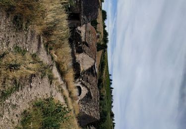
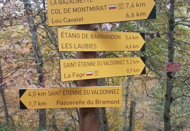
Trail Walking of 5.6 km to be discovered at Occitania, Lozère, Saint-Étienne-du-Valdonnez. This trail is proposed by HO49.


On foot

Other activity
Walking
Walking

Walking
Electric bike

Walking

Mountain bike
Walking