22 km | 24 km-effort
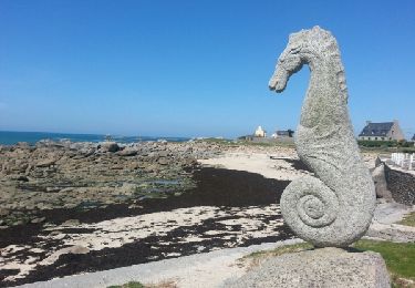
plage kerbrat sur le GR 34
zefreefly
User
Length
14.5 km
Max alt
30 m
Uphill gradient
135 m
Km-Effort
16.3 km
Min alt
1 m
Downhill gradient
135 m
Boucle
Yes
Creation date :
2022-02-27 09:48:00.0
Updated on :
2022-02-27 14:35:54.042
3h32
Difficulty : Very easy
FREE GPS app for hiking
About
Trail Walking of 14.5 km to be discovered at Brittany, Finistère, Plougoulm. This trail is proposed by zefreefly.
Description
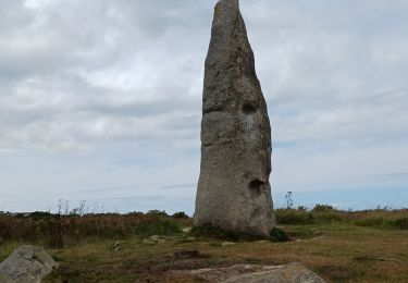
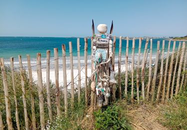
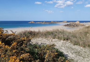
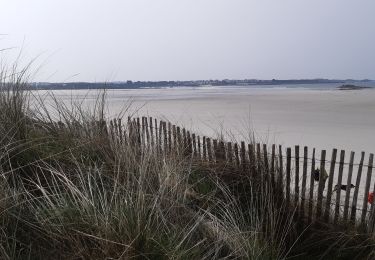
Une balade allée retour sur le sentier côtier.
Positioning
Country:
France
Region :
Brittany
Department/Province :
Finistère
Municipality :
Plougoulm
Location:
Unknown
Start:(Dec)
Start:(UTM)
421777 ; 5393179 (30U) N.
Comments
Trails nearby
01.09.23 Monguériec -- Plouescat
Walking
Very difficult
Sibiril,
Brittany,
Finistère,
France
5h 31min
No
le dossen direction le port de moguériec et revenir sur Roscoff puis sante
Walking
Medium
Santec,
Brittany,
Finistère,
France
10.3 km | 11.2 km-effort
1h 1min
No
croach zu ,cam louis
Walking
Easy
Cléder,
Brittany,
Finistère,
France
18 km | 19.5 km-effort
4h 27min
No
santec éperon barré
Walking
Easy
Santec,
Brittany,
Finistère,
France
17 km | 18.7 km-effort
4h 7min
Yes
Tour de l'île de Sieck. Finistère. 20/08/19.
Walking
Very easy
Santec,
Brittany,
Finistère,
France
3.5 km | 3.8 km-effort
1h 11min
Yes
vallée du guillec
Walking
Easy
Sibiril,
Brittany,
Finistère,
France
16.7 km | 18.8 km-effort
4h 50min
No
petit port de moguériec direction kerficien
Nordic walking
Very easy
Sibiril,
Brittany,
Finistère,
France
13.2 km | 14.5 km-effort
2h 48min
No