


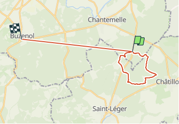

12.6 km | 16.2 km-effort


User


FREE GPS app for hiking
 SityTrail
IGN / Geographical institutes
SityTrail World
The world is yours!
Trail Walking of 12.2 km to be discovered at Wallonia, Luxembourg, Étalle. This trail is proposed by Olivier Degimbe.
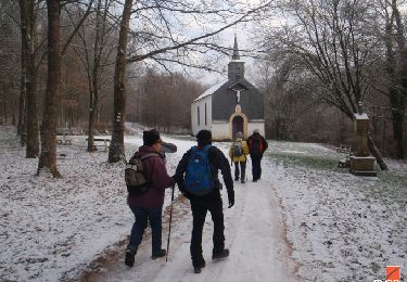
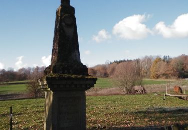
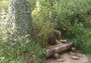
Superbes et variés sentiers forestiers en passant par le Fourneau David. Possibilité d’étendre via le trou du perou et le parc naturel de la sablière
Walking

Mountain bike

Walking
Walking

Walking
Walking

On foot

On foot
Mountain bike