


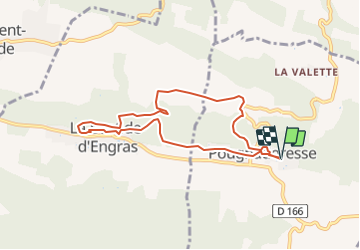

14.4 km | 16.8 km-effort


User


FREE GPS app for hiking
 SityTrail
IGN / Geographical institutes
SityTrail World
The world is yours!
Trail Walking of 7.9 km to be discovered at Occitania, Gard, Pougnadoresse. This trail is proposed by Sedille.
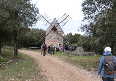
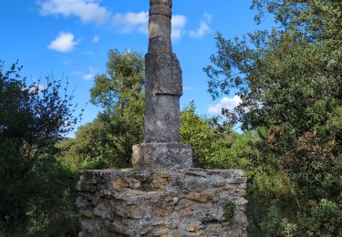
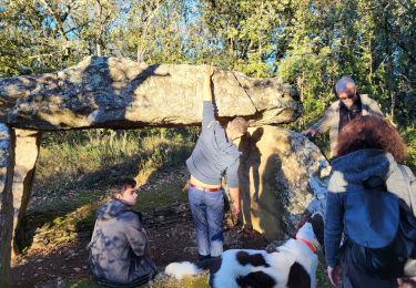
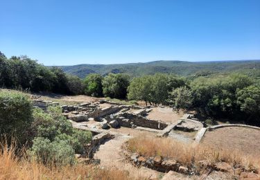
Parcours permettant de visiter deux vieux villages avec leurs châteaux fortifiés dominant la vallée de la Tave et entre les deux la chapelle St Jean d'Orgerolles dans un très beau site.
Walking


sport

Walking
Walking

Walking
Walking

Walking

Walking
Walking