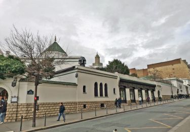
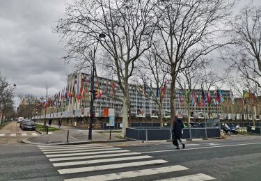
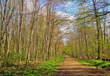
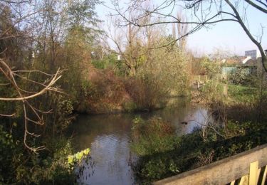
Trail Walking Bagneux - PR-19 Aqueduc de Cachan - Photo

PR-19 Aqueduc de Cachan

© OpenStreetMap contributors
Length
Length
11.3 km
Max alt
Max alt
109 m
Uphill gradient
Uphill gradient
175 m
Km-Effort
Km-Effort  
13.6 km
Min alt
Min alt
43 m
Downhill gradient
Downhill gradient
176 m
Boucle
Boucle
Yes
Creation date :
2022-02-25 13:19:03.507
Updated on :
2022-03-04 15:15:19.921

(1 Reviews)

Walking
Walking
2h03
Difficulty : Medium

Scan this QR Code to open this trail in the SityTrail application

FREE GPS app for hiking

Logo SityTrail SityTrail

IGN / Geographical institutes

Download SityTrail from the App Store Download SityTrail from Google Play

Logo SityTrail SityTrail World

The world is yours!

Download SityTrail from the App Store Download SityTrail from Google Play Download SityTrail on Huawei AppGallery

About

Trail Walking of 11.3 km to be discovered at Ile-de-France, Hauts-de-Seine, Bagneux. This trail is proposed by c.chehere.

Description

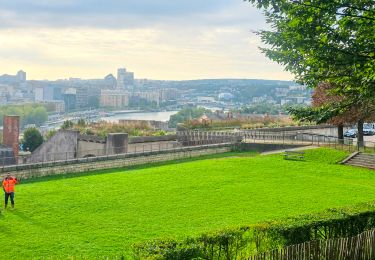
Parcours découverte des aqueducs du Lunain, de la Vanne et Médicis.  Un voyage à travers le temps du 16e siècle au 21e siècle (date de la dernière tranche de travaux).  Vous cheminerez dans des venelles typiques et fleuries, vous aurez peut-être la chance de croiser des hérissons. Vous traverserez le jardin du Panorama qui comme son nom l’indique offre une vue exceptionnelle sur la vallée de la Bièvre.  Dépaysement assuré.   Si vous souhaitez télécharger ou imprimer la description rue par rue du tracé, cliquez ici :   https://cms.ffrandonnee.fr/data/CD94/files/PasaPas/Pas-a-Pas-PR-19.pdf

Elevation profile

Positioning

Country:
France
Region :
Ile-de-France
Department/Province :
Hauts-de-Seine
Municipality :
Bagneux
Location:
Unknown
Start:(UTM)
448337 ; 5405002 (31U) N.

Comments

Please log in to post a review or rate the element


Trails nearby

Trail Walking Paris - DP75-15 Du square Saint-Médard à Chevaleret - Photo
Walking
clalaur

Walking

Easy
(1)
Paris, Ile-de-France, Paris, France
3.3 km | 4 km-effort
54min
No
Trail Walking Paris - DP75-13 De Vaugirard à Sèvres-Babylone - Photo
Walking
clalaur

Walking

Easy
(1)
Paris, Ile-de-France, Paris, France
4.4 km | 5 km-effort
1h 8min
No
Trail Walking Verrières-le-Buisson - Sur les sentiers de découverte du Bois de Verrières - Photo
Walking
tracegps

Walking

Medium
(2)
Verrières-le-Buisson, Ile-de-France, Essonne, France
22 km | 27 km-effort
4h 40min
Yes
Trail Walking Sceaux - Les Hauts de Bièvre - Photo
Walking
tracegps

Walking

Difficult
(2)
Sceaux, Ile-de-France, Hauts-de-Seine, France
25 km | 30 km-effort
6h 0min
Yes
Trail On foot Boulogne-Billancourt - Boulogne -  Marne la Coquette - Ville d'Avray - Meudon - Photo
On foot
GUIDE
chessyca

On foot

Difficult
Boulogne-Billancourt, Ile-de-France, Hauts-de-Seine, France
29 km | 36 km-effort
8h 9min
No
Trail Walking Paris - Tombes célèbres du cimetière du Montparnasse et balade jusqu'à Madeleine - Photo
Walking
GUIDE
chessyca

Walking

Easy
Paris, Ile-de-France, Paris, France
13.4 km | 15.6 km-effort
3h 38min
No
Trail Walking Fontenay-aux-Roses -  Rando des 3 Parcs ! (des Gares RER) - Photo
Walking
dmj41

Walking

Very difficult
(2)
Fontenay-aux-Roses, Ile-de-France, Hauts-de-Seine, France
15.9 km | 19.5 km-effort
4h 26min
No
Trail Walking Paris - Balade street art parisien + Visite thème hotel de Beauvais - Photo
Walking
GUIDE
chessyca

Walking

Paris, Ile-de-France, Paris, France
10.8 km | 12.4 km-effort
2h 18min
No
Trail Walking Sceaux - Boucle autour du parc de Sceaux - Photo
Walking
GUIDE
chessyca

Walking

Very easy
Sceaux, Ile-de-France, Hauts-de-Seine, France
19 km | 23 km-effort
4h 24min
Yes


Close
My subscriptions