7.1 km | 12.5 km-effort
Benque/Aventin/Castillon/Garin
LE CHENE ANNIE
User
Length
10.9 km
Max alt
1375 m
Uphill gradient
480 m
Km-Effort
17.4 km
Min alt
927 m
Downhill gradient
494 m
Boucle
Yes
Creation date :
2022-02-24 08:19:57.032
Updated on :
2022-02-24 15:00:17.025
3h42
Difficulty : Medium
FREE GPS app for hiking
About
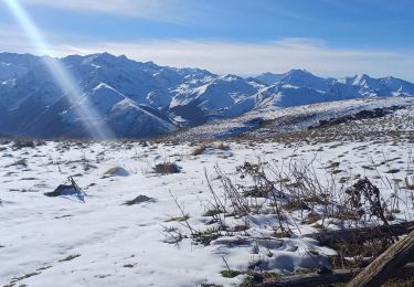
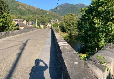
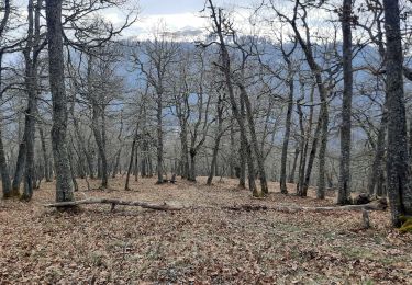
Trail Walking of 10.9 km to be discovered at Occitania, Haute-Garonne, Benque-Dessous-et-Dessus. This trail is proposed by LE CHENE ANNIE .
Positioning
Country:
France
Region :
Occitania
Department/Province :
Haute-Garonne
Municipality :
Benque-Dessous-et-Dessus
Location:
Unknown
Start:(Dec)
Start:(UTM)
300018 ; 4743131 (31T) N.
Comments
Trails nearby
JUZET - PAS DE LA COMBE (LABACH)
Snowshoes
Medium
(1)
Juzet-de-Luchon,
Occitania,
Haute-Garonne,
France
2h 33min
Yes
Fonds de Burbe - Saint Mamet
Walking
Difficult
(1)
Saint-Mamet,
Occitania,
Haute-Garonne,
France
15.6 km | 27 km-effort
4h 0min
Yes
Cap de Salières en boucle depuis Saccourvielle
Walking
Medium
Saccourvielle,
Occitania,
Haute-Garonne,
France
12.1 km | 24 km-effort
6h 23min
Yes
GR 10 - 3
Walking
Medium
(2)
Bagnères-de-Luchon,
Occitania,
Haute-Garonne,
France
250 km | 489 km-effort
89h 8min
No
mail de la pène de Rustier en boucle depuis Mayrègne
Walking
Medium
Mayrègne,
Occitania,
Haute-Garonne,
France
11.7 km | 21 km-effort
6h 2min
Yes
Cabane de Courreau en boucle depuis St Aventin
Walking
Medium
Saint-Aventin,
Occitania,
Haute-Garonne,
France
13.3 km | 24 km-effort
6h 10min
Yes
2022 08 -Transpyrénéen 2 : Bagnères de Luchon -Fos
Walking
Very difficult
Bagnères-de-Luchon,
Occitania,
Haute-Garonne,
France
30 km | 55 km-effort
7h 8min
No
Cap de Serrède en boucle depuis Mayrègne
Walking
Medium
Mayrègne,
Occitania,
Haute-Garonne,
France
6.6 km | 15.2 km-effort
4h 11min
Yes
Boucle dans la vallée du Larboust et la Vallée d'Oueil
On foot
Easy
Benque-Dessous-et-Dessus,
Occitania,
Haute-Garonne,
France
4.9 km | 8.7 km-effort
1h 58min
No