


31 km | 41 km-effort


FREE GPS app for hiking
 SityTrail
IGN / Geographical institutes
SityTrail World
The world is yours!
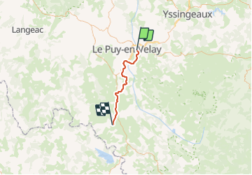
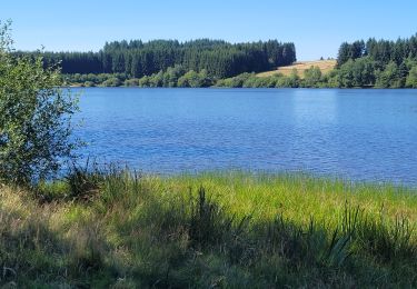
Trail Mountain bike of 33 km to be discovered at Auvergne-Rhône-Alpes, Haute-Loire, Brives-Charensac. This trail is proposed by evefrancois@orange.fr.
ancienne voie de chemin de fer entre le Puy et Landos qui se transforme en vélo rail
jusqu'à Pradelles
nombreux tunnels et ouvrages d’art

Walking

Walking

Walking

Walking
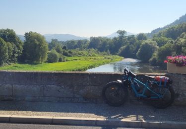
Electric bike
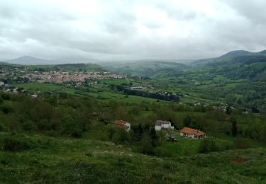
Walking
Walking
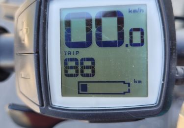
Electric bike
Electric bike