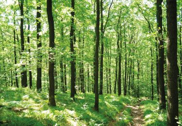
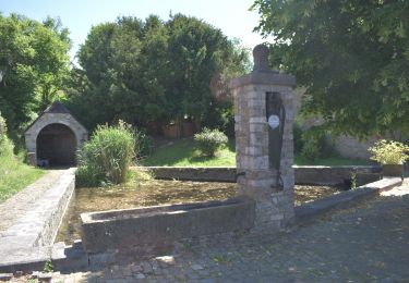
Trail Walking Theux - Juslenville  - Photo

Juslenville

© OpenStreetMap contributors
Length
Length
9.9 km
Max alt
Max alt
264 m
Uphill gradient
Uphill gradient
193 m
Km-Effort
Km-Effort  
12.5 km
Min alt
Min alt
154 m
Downhill gradient
Downhill gradient
194 m
Boucle
Boucle
Yes
Creation date :
2022-02-23 12:30:55.808
Updated on :
2022-02-23 15:01:21.588

(0 Reviews)

Walking
Walking
2h29
Difficulty : Difficult

Scan this QR Code to open this trail in the SityTrail application

FREE GPS app for hiking

Logo SityTrail SityTrail

IGN / Geographical institutes

Download SityTrail from the App Store Download SityTrail from Google Play

Logo SityTrail SityTrail World

The world is yours!

Download SityTrail from the App Store Download SityTrail from Google Play Download SityTrail on Huawei AppGallery

About

Trail Walking of 9.9 km to be discovered at Wallonia, Liège, Theux. This trail is proposed by BoulangerPierre.

Elevation profile

Positioning

Country:
Belgium
Region :
Wallonia
Department/Province :
Liège
Municipality :
Theux
Location:
Theux
Start:(UTM)
699082 ; 5603260 (31U) N.

Trails nearby

Trail Walking Theux - Theux - Natura 2000, des sites qui valent le détour - LG22 - Photo
Walking
GUIDE+

Walking

Medium
(6)
Theux, Wallonia, Liège, Belgium
12.7 km | 16.8 km-effort
3h 31min
Yes
Trail Walking Trooz - RB-Lg-03 - Entre Vesdre et Hoëgne - Photo
Walking
PRO

Walking

Medium
(12)
Trooz, Wallonia, Liège, Belgium
22 km | 29 km-effort
6h 9min
Yes
Trail Walking Theux - RF-Lg-08_Franchimont_Grande-boucle - Photo
Walking
PRO

Walking

Very easy
(6)
Theux, Wallonia, Liège, Belgium
10.8 km | 14.6 km-effort
3h 9min
Yes
Trail Walking Sprimont - Banneux - Rouge Thier - Adzeux - Photo
Walking
GUIDE
mumu.larandonneuse

Walking

Easy
(3)
Sprimont, Wallonia, Liège, Belgium
9.1 km | 11.3 km-effort
2h 34min
Yes
Trail Walking Olne - 20210208 - Olne 9 Km - Photo
Walking
GUIDE
pierreh01

Walking

Medium
(3)
Olne, Wallonia, Liège, Belgium
9.1 km | 12.4 km-effort
2h 31min
Yes
Trail Walking Olne - Les bocages du Rafhay: Olne - Saint Hadelin - Photo
Walking
GUIDE
pierreh01

Walking

Medium
(4)
Olne, Wallonia, Liège, Belgium
7 km | 8.9 km-effort
2h 0min
Yes
Trail Walking Pepinster - 20200601 - Soiron 12 Km - Photo
Walking
GUIDE
pierreh01

Walking

Difficult
(2)
Pepinster, Wallonia, Liège, Belgium
12.1 km | 17.6 km-effort
2h 35min
Yes
Trail Walking Olne - OLNE LOUIS - Photo
Walking
motou.bedeur1@gmail.com

Walking

Medium
(1)
Olne, Wallonia, Liège, Belgium
8 km | 11.1 km-effort
2h 30min
Yes
Trail On foot Theux - Chemin des Sources - Introduction to hiking in Polleur - Photo
On foot
PRO

On foot

Easy
(1)
Theux, Wallonia, Liège, Belgium
7.5 km | 9.9 km-effort
2h 14min
Yes


Close
My subscriptions