


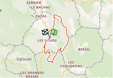

16 km | 31 km-effort


User


FREE GPS app for hiking
 SityTrail
IGN / Geographical institutes
SityTrail World
The world is yours!
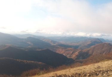
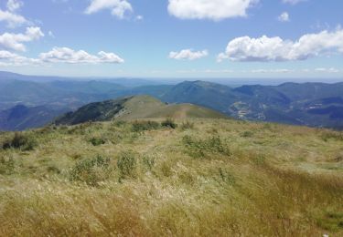
Trail Walking of 14.1 km to be discovered at Auvergne-Rhône-Alpes, Drôme, Chaudebonne. This trail is proposed by losjo.
rando technique
Walking
Walking
Walking

Walking

Walking
Walking

Walking

Walking
Walking
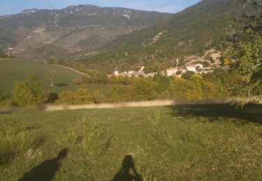
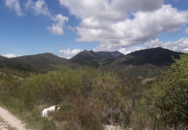
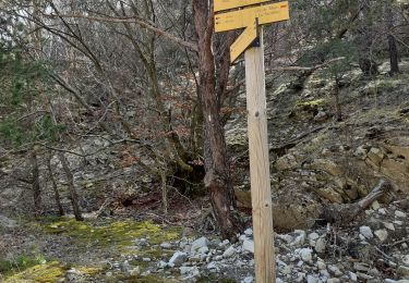
belle rando mais très technique surtout en hiver avec le vent et la neige. Il faut être très prudent.