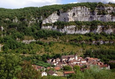
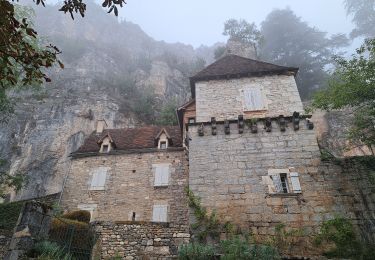
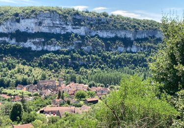
Trail Walking Saint-Chels - Les 7 Dolmens du Causse de Saint-Chels - Photo

Les 7 Dolmens du Causse de Saint-Chels

 houbart
houbart

User

© OpenStreetMap contributors
Length
Length
11.4 km
Max alt
Max alt
383 m
Uphill gradient
Uphill gradient
238 m
Km-Effort
Km-Effort  
14.6 km
Min alt
Min alt
283 m
Downhill gradient
Downhill gradient
240 m
Boucle
Boucle
Yes
Creation date :
2022-02-22 08:11:55.284
Updated on :
2022-02-22 08:17:30.579

(2 Reviews)

Walking
Walking
3h18
Difficulty : Difficult

Scan this QR Code to open this trail in the SityTrail application

FREE GPS app for hiking

Logo SityTrail SityTrail

IGN / Geographical institutes

Download SityTrail from the App Store Download SityTrail from Google Play

Logo SityTrail SityTrail World

The world is yours!

Download SityTrail from the App Store Download SityTrail from Google Play Download SityTrail on Huawei AppGallery

About

Trail Walking of 11.4 km to be discovered at Occitania, Lot, Saint-Chels. This trail is proposed by houbart.

Elevation profile

Points of interest

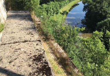
Point of interest Marcilhac-sur-Célé - Point de vue sur le causse - Photo
houbart
MARCILHAC-SUR-CÉLÉ 
Point of interest Marcilhac-sur-Célé - Tumulus du dolmen du cloup de Payrol à droite - Photo
houbart
MARCILHAC-SUR-CÉLÉ 
Point of interest Marcilhac-sur-Célé - Dolmen du Mas de Jean Blanc ou de la Métairie Hte - Photo
houbart
MARCILHAC-SUR-CÉLÉ 
Point of interest Marcilhac-sur-Célé - Dolmen de la combe de Sole n°1 - Photo
houbart
MARCILHAC-SUR-CÉLÉ 
Point of interest Saint-Chels - Chemin à droite - Photo
houbart
SAINT-CHELS 
Point of interest Saint-Chels - Lavoir - Photo
houbart
SAINT-CHELS 
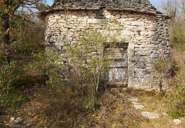
Point of interest Saint-Chels - Cazelle - Photo
houbart
SAINT-CHELS 

Positioning

Country:
France
Region :
Occitania
Department/Province :
Lot
Municipality :
Saint-Chels
Location:
Unknown
Start:(UTM)
404737 ; 4931293 (31T) N.

Comments

Please log in to post a review or rate the element


Très joli circuit, bien balisé, presque entièrement sur chemins et pistes forestières. Un vrai régal pour ceux qui aiment les chemins du causse. Il y a un autre circuit au sud de St-Chels, on doit pouvoir coupler les 2 pour ceux qui veulent un peu plus de km.


Trails nearby

Trail Walking Marcilhac-sur-Célé - Marcilhac sur Célé - Photo
Walking
tracegps

Walking

Medium
(2)
Marcilhac-sur-Célé, Occitania, Lot, France
8.4 km | 10.8 km-effort
3h 15min
Yes
Trail Walking Marcilhac-sur-Célé - Autour de Marcilhac sur Célé - Photo
Walking
tracegps

Walking

Very difficult
(2)
Marcilhac-sur-Célé, Occitania, Lot, France
17.8 km | 25 km-effort
5h 0min
Yes
Trail Walking Saint-Sulpice - 2e étape St Sulpice Cabrenet - Photo
Walking
GUIDE
nadinebondoux

Walking

Difficult
Saint-Sulpice, Occitania, Lot, France
26 km | 37 km-effort
8h 7min
No
Trail Walking Marcilhac-sur-Célé - Marcilhac st sulpice  - Photo
Walking
GUIDE
antignacs

Walking

Medium
Marcilhac-sur-Célé, Occitania, Lot, France
20 km | 27 km-effort
5h 0min
Yes
Trail Walking Cajarc - Etape14 Cajarc a Limogne en Quercy - Photo
Walking
lesduj

Walking

Easy
Cajarc, Occitania, Lot, France
19.4 km | 25 km-effort
4h 36min
No
Trail Walking Cajarc - Le Lot à Cajarc  - Photo
Walking
richardsimopons

Walking

Cajarc, Occitania, Lot, France
9.7 km | 11.8 km-effort
2h 16min
Yes
Trail Walking Marcilhac-sur-Célé - Marcilhac-sur-Célé - Boucle - Photo
Walking
Indi34

Walking

Easy
Marcilhac-sur-Célé, Occitania, Lot, France
7.9 km | 10.8 km-effort
3h 3min
Yes
Trail Walking Cajarc - CC_Velay_DA_13_Cajarc_Bach_20080504 - Photo
Walking
patrickdanilo

Walking

Medium
Cajarc, Occitania, Lot, France
32 km | 40 km-effort
7h 20min
No
Trail Walking Cajarc - Cajarc (Boucle) - Photo
Walking
neitag61

Walking

Difficult
Cajarc, Occitania, Lot, France
12.6 km | 17 km-effort
3h 39min
Yes


Close
My subscriptions